File:Mexico map, MX-YUC.svg

Size of this PNG preview of this SVG file: 800 × 544 pixels. Other resolutions: 320 × 218 pixels | 640 × 435 pixels | 1,024 × 696 pixels | 1,280 × 870 pixels | 2,560 × 1,741 pixels | 1,000 × 680 pixels.
Original file (SVG file, nominally 1,000 × 680 pixels, file size: 267 KB)
Captions
Captions
Add a one-line explanation of what this file represents
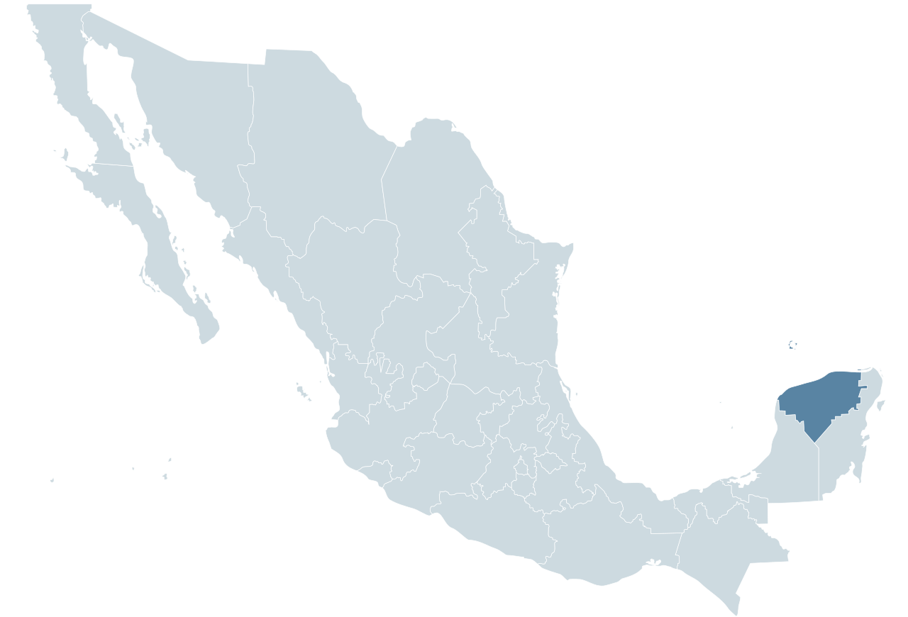
| Description | Locator map for the state of Yucatán within Mexico. |
| Date | 04-07-2007 |
| Source | Mexico States blank map.svg by Yavidaxiu and Sémhur |
| Author | Lokal_Profil |

|
Permission is granted to copy, distribute and/or modify this document under the terms of the GNU Free Documentation License, Version 1.2 or any later version published by the Free Software Foundation; with no Invariant Sections, no Front-Cover Texts, and no Back-Cover Texts. A copy of the license is included in the section entitled GNU Free Documentation License. |
File history
Click on a date/time to view the file as it appeared at that time.
| Date/Time | Thumbnail | Dimensions | User | Comment | |
|---|---|---|---|---|---|
| current | 00:54, 29 January 2010 | | 1,000 × 680 (267 KB) | Addicted04 (talk | contribs) | Reverted to version as of 01:28, 29 September 2009 |
| 23:52, 17 November 2009 |  | 1,000 × 680 (123 KB) | Addicted04 (talk | contribs) | Reverted to version as of 19:50, 19 November 2007 | |
| 01:28, 29 September 2009 |  | 1,000 × 680 (267 KB) | Addicted04 (talk | contribs) | States borders | |
| 19:50, 19 November 2007 |  | 1,000 × 680 (123 KB) | El bart089 (talk | contribs) | updated version, based on map made by Lokal Profil. | |
| 17:28, 4 July 2007 |  | 1,000 × 680 (117 KB) | Lokal Profil (talk | contribs) | {{Information |Description=Locator map for the state of Category:Yucatán within Mexico. |Source=Image:Mexico template.svg by Mario Fuente Cid <small>and Lokal_Profil</small> |Date=04-07-2007 |Author=[[ |
You cannot overwrite this file.
File usage on Commons
The following 4 pages use this file:
File usage on other wikis
The following other wikis use this file:
- Usage on an.wikipedia.org
- Usage on ay.wikipedia.org
- Usage on chr.wikipedia.org
- Usage on chy.wikipedia.org
- Usage on cy.wikipedia.org
- Usage on en.wiktionary.org
- Usage on es.wikinews.org
- Usage on fr.wikipedia.org
- Usage on fy.wikipedia.org
- Usage on incubator.wikimedia.org
- Usage on ka.wikipedia.org
- Usage on lv.wikipedia.org
- Usage on nn.wikipedia.org
- Usage on pl.wikipedia.org
- Usage on ru.wikipedia.org
- Usage on sco.wikipedia.org
- Usage on simple.wikipedia.org
- Usage on sw.wikipedia.org
- Usage on th.wiktionary.org
- Usage on tr.wikipedia.org
- Usage on uk.wikipedia.org