File:Mil.Geo.-Stadtplan Lemberg. 1944.jpg

Size of this preview: 772 × 600 pixels. Other resolutions: 309 × 240 pixels | 618 × 480 pixels | 989 × 768 pixels | 1,280 × 995 pixels | 2,560 × 1,989 pixels | 17,443 × 13,553 pixels.
Original file (17,443 × 13,553 pixels, file size: 25.64 MB, MIME type: image/jpeg)
Captions
Captions
Add a one-line explanation of what this file represents
Summary
edit
| Warning | The original file is very high-resolution. It might not load properly or could cause your browser to freeze when opened at full size. |
|---|
| Description |
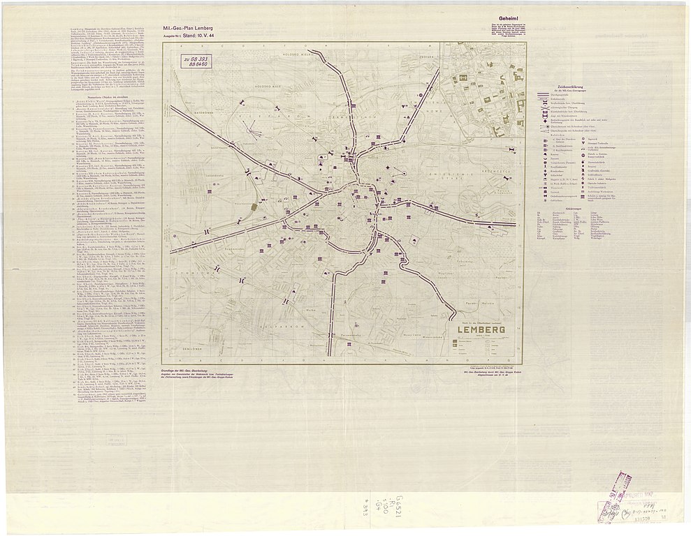
English: Mil.-Geo.-Karte Generalgouvernement 1:100,000 (1944) |
| Date | |
| Source | http://igrek.amzp.pl/11797831 |
| Author | Abteilung für Kriegskarten und Vermeßungswesen |
Licensing
edit
This file is a Ukrainian or Ukrainian SSR work and it is presently in the public domain in Ukraine, because it was published before January 1, 1954, and the creator (if known) died before that date (details).
|
 |
File history
Click on a date/time to view the file as it appeared at that time.
| Date/Time | Thumbnail | Dimensions | User | Comment | |
|---|---|---|---|---|---|
| current | 18:41, 5 April 2020 | | 17,443 × 13,553 (25.64 MB) | Arxivist (talk | contribs) | Uploaded a work by Abteilung für Kriegskarten und Vermeßungswesen from http://igrek.amzp.pl/11797831 with UploadWizard |
You cannot overwrite this file.
File usage on Commons
The following page uses this file:
,_1944.jpg)