File:MonklandCanalHomeFarmBridge1.JPG

Size of this preview: 799 × 599 pixels. Other resolutions: 320 × 240 pixels | 640 × 480 pixels | 1,024 × 768 pixels | 1,280 × 960 pixels | 2,405 × 1,804 pixels.
Original file (2,405 × 1,804 pixels, file size: 2.48 MB, MIME type: image/jpeg)
Captions
Captions
Add a one-line explanation of what this file represents
Summary edit
| Description |
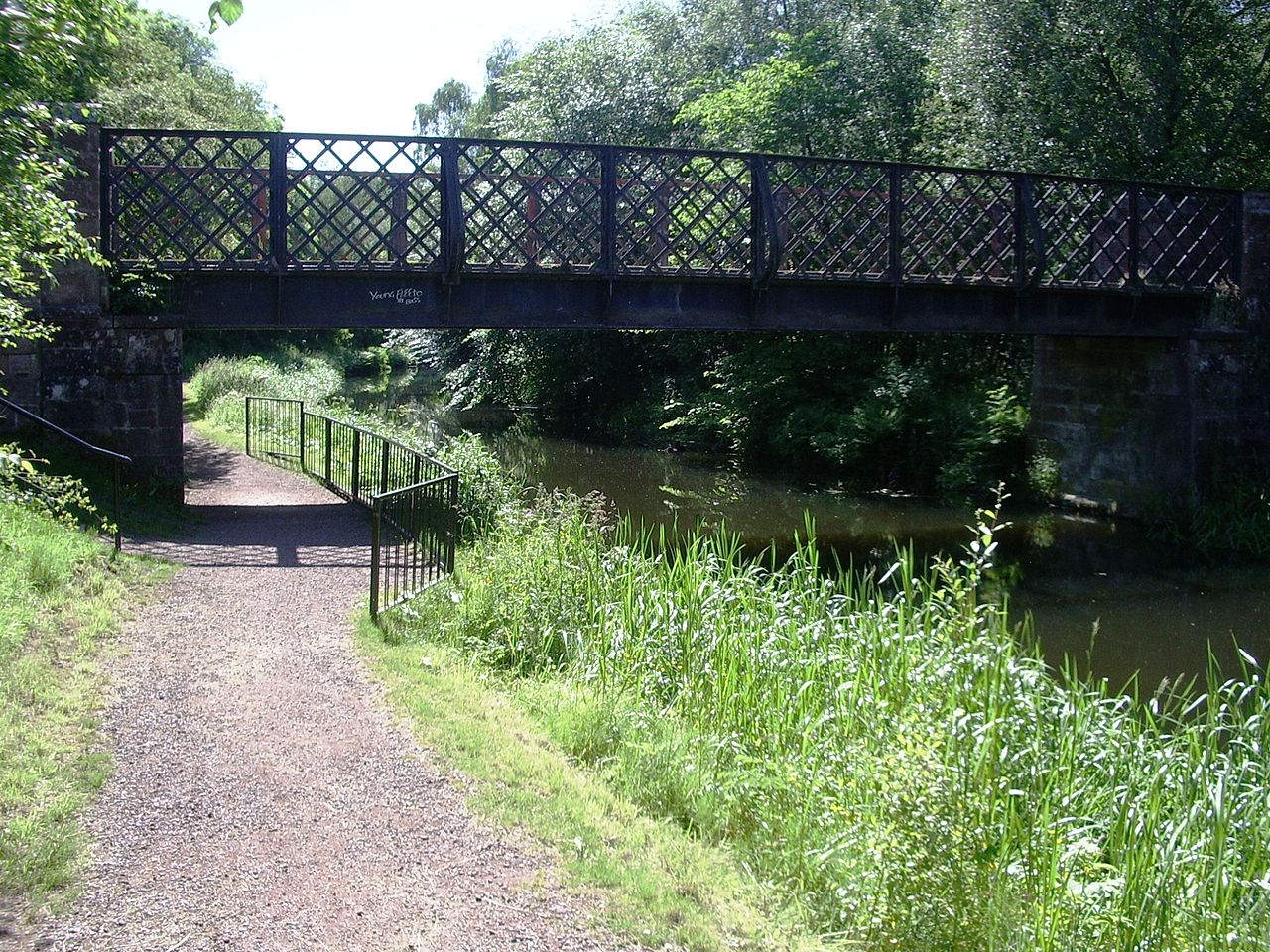
English: Monkland Canal, Drumpelier Home Farm bridge, Coatbridge, Scotland, south bank, looking west from 55°51′52.9″N 4°3′11.6″W / 55.864694°N 4.053222°W. |
| Date | 27 July 2006 (original upload date) |
| Source | Transferred from en.wikipedia to Commons by ML5 using CommonsHelper. |
| Author | ML5 at English Wikipedia |
Licensing edit
| This work has been released into the public domain by its author, ML5 at English Wikipedia. This applies worldwide. In some countries this may not be legally possible; if so: ML5 grants anyone the right to use this work for any purpose, without any conditions, unless such conditions are required by law. |
Original upload log edit
The original description page was here. All following user names refer to en.wikipedia.
- 2006-07-27 11:30 ML5 2560×1920× (1608809 bytes) Monkland Canal, Drumpelier Home Farm bridge, Coatbridge, Scotland, south bank, looking west
File history
Click on a date/time to view the file as it appeared at that time.
| Date/Time | Thumbnail | Dimensions | User | Comment | |
|---|---|---|---|---|---|
| current | 08:36, 24 June 2009 | | 2,405 × 1,804 (2.48 MB) | ML5 (talk | contribs) | A path has been built along the tow path. |
| 17:50, 23 June 2009 |  | 2,560 × 1,920 (1.53 MB) | File Upload Bot (Magnus Manske) (talk | contribs) | {{BotMoveToCommons|en.wikipedia|year={{subst:CURRENTYEAR}}|month={{subst:CURRENTMONTHNAME}}|day={{subst:CURRENTDAY}}}} {{Information |Description={{en|Monkland Canal, Drumpelier Home Farm bridge, Coatbridge, Scotland, south bank, looking west}} |Source=T |
You cannot overwrite this file.
File usage on Commons
There are no pages that use this file.
File usage on other wikis
The following other wikis use this file:
- Usage on en.wikipedia.org
- Usage on no.wikipedia.org