File:Mont-Blanc-DSCN0200.JPG
Size of this preview: 800 × 600 pixels. Other resolutions: 320 × 240 pixels | 640 × 480 pixels | 1,024 × 768 pixels | 1,280 × 960 pixels | 2,560 × 1,920 pixels | 4,224 × 3,168 pixels.
Original file (4,224 × 3,168 pixels, file size: 5.74 MB, MIME type: image/jpeg)
Captions
Captions
Add a one-line explanation of what this file represents
Summary edit
| Description |
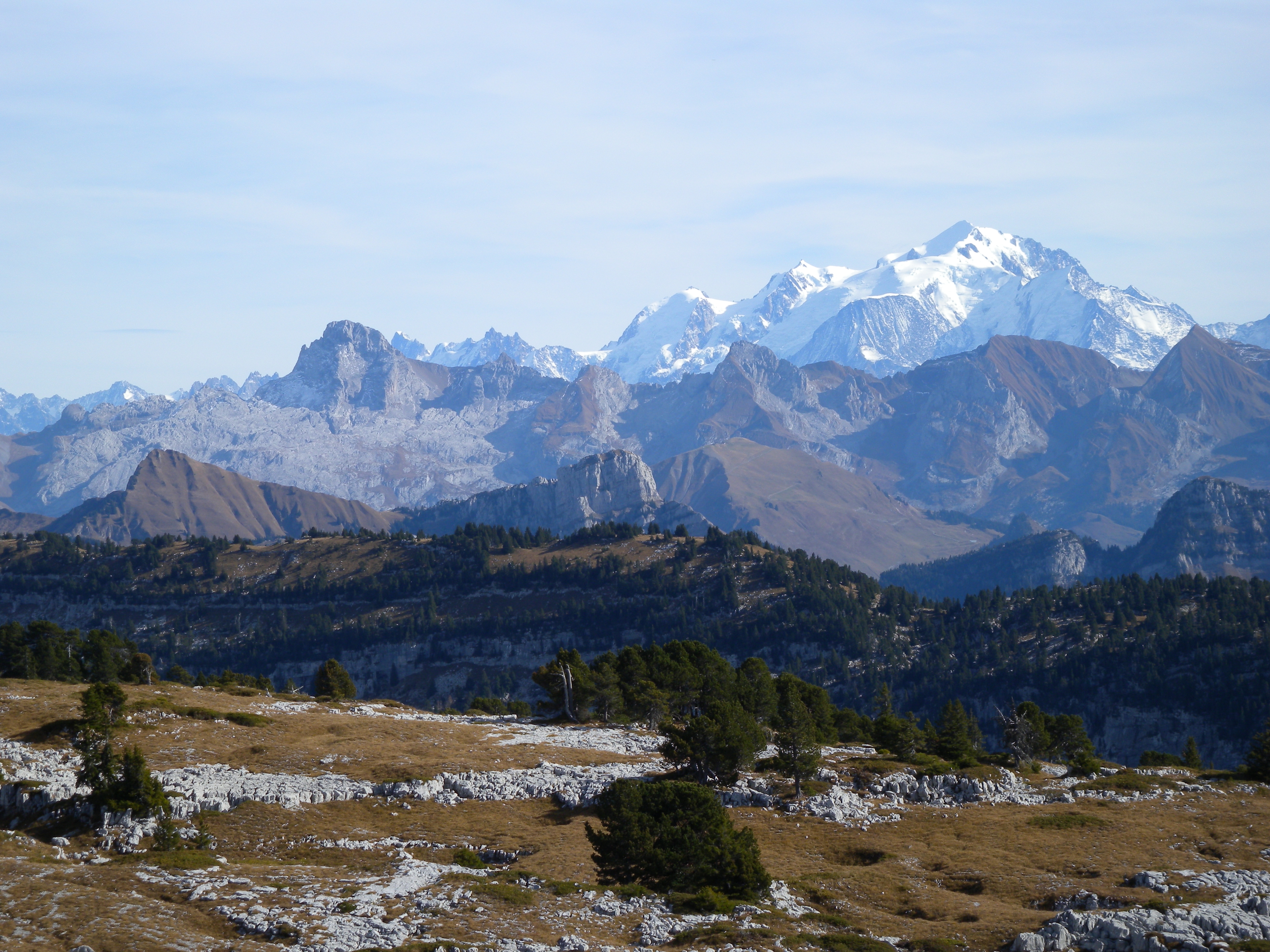
Français : Mont Blanc Pointe Percée |
| Date | |
| Source | Own work |
| Author | Gnomefilliere |
| Camera location | | View this and other nearby images on: OpenStreetMap |
|---|
Prise de vue de Sous-Dine
Licensing edit
I, the copyright holder of this work, hereby publish it under the following licenses:

|
Permission is granted to copy, distribute and/or modify this document under the terms of the GNU Free Documentation License, Version 1.2 or any later version published by the Free Software Foundation; with no Invariant Sections, no Front-Cover Texts, and no Back-Cover Texts. A copy of the license is included in the section entitled GNU Free Documentation License. |
This file is licensed under the Creative Commons Attribution-Share Alike 3.0 Unported, 2.5 Generic, 2.0 Generic and 1.0 Generic license.
- You are free:
- to share – to copy, distribute and transmit the work
- to remix – to adapt the work
- Under the following conditions:
- attribution – You must give appropriate credit, provide a link to the license, and indicate if changes were made. You may do so in any reasonable manner, but not in any way that suggests the licensor endorses you or your use.
- share alike – If you remix, transform, or build upon the material, you must distribute your contributions under the same or compatible license as the original.
You may select the license of your choice.
| Annotations | This image is annotated: View the annotations at Commons |
File history
Click on a date/time to view the file as it appeared at that time.
| Date/Time | Thumbnail | Dimensions | User | Comment | |
|---|---|---|---|---|---|
| current | 18:12, 24 November 2009 | | 4,224 × 3,168 (5.74 MB) | Gnomefilliere (talk | contribs) | {{Information |Description={{fr|1=Mont Blanc Pointe Percée}} |Source={{own}} |Author=Gnomefilliere |Date=29-10-2009 |Permission= |other_versions= }} Prise de vue de Sous-Dine Category:Alps Category:Mont Blanc [[Category:Poi |
You cannot overwrite this file.
File usage on Commons
There are no pages that use this file.