File:Mount-collins-from-441.jpg

Size of this preview: 800 × 596 pixels. Other resolutions: 320 × 239 pixels | 640 × 477 pixels | 1,024 × 764 pixels | 1,199 × 894 pixels.
Original file (1,199 × 894 pixels, file size: 356 KB, MIME type: image/jpeg)
Captions
Captions
Add a one-line explanation of what this file represents
Summary
edit
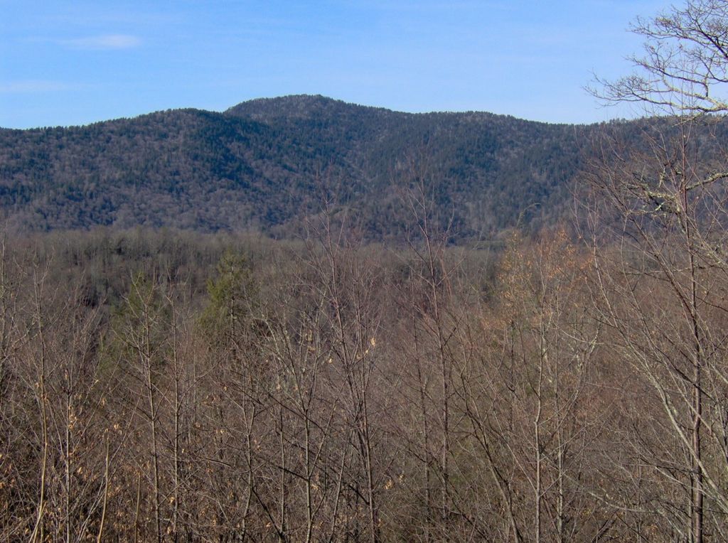
| Description | Mount Collins (el. 6,188 feet/1,886 meters) in the Great Smoky Mountains, looking northwest from Newfound Gap Road. Mount Collins is situated along the Appalachian Trail between Clingman's Dome and Newfound Gap. |
| Date | |
| Source | Own work |
| Author | Brian Stansberry |
Licensing
edit
I, Brian Stansberry, the copyright holder of this work, hereby publishes it under the following licenses:

|
Permission is granted to copy, distribute and/or modify this document under the terms of the GNU Free Documentation License, Version 1.2 or any later version published by the Free Software Foundation; with no Invariant Sections, no Front-Cover Texts, and no Back-Cover Texts. A copy of the license is included in the section entitled GNU Free Documentation License. |
| This file is licensed under the Creative Commons Attribution-Share Alike 3.0 Unported license. | ||
| Attribution: I, Brian Stansberry | ||
| ||
| This licensing tag was added to this file as part of the GFDL licensing update. |
This file is licensed under the Creative Commons Attribution 2.5 Generic license.
Attribution: I, Brian Stansberry
- You are free:
- to share – to copy, distribute and transmit the work
- to remix – to adapt the work
- Under the following conditions:
- attribution – You must give appropriate credit, provide a link to the license, and indicate if changes were made. You may do so in any reasonable manner, but not in any way that suggests the licensor endorses you or your use.
You may select the license of your choice.
File history
Click on a date/time to view the file as it appeared at that time.
| Date/Time | Thumbnail | Dimensions | User | Comment | |
|---|---|---|---|---|---|
| current | 01:43, 20 August 2007 | | 1,199 × 894 (356 KB) | BrineStans (talk | contribs) | {{Information |Description=Mount Collins (el. 6,188 feet/1,886 meters) in the Great Smoky Mountains, looking northwest from Newfound Gap Road. Mount Collins is situated along the Appalachian Trail between Clingman's Dome and Newfound Gap. |Source=self-ma |
You cannot overwrite this file.
File usage on Commons
There are no pages that use this file.
File usage on other wikis
The following other wikis use this file:
- Usage on arz.wikipedia.org
- Usage on ceb.wikipedia.org
- Usage on en.wikipedia.org
- Usage on pl.wikipedia.org
- Usage on ur.wikipedia.org
- Usage on www.wikidata.org