File:Mount Hope from Mount Agamenticus Fire Tower.jpg
Size of this preview: 800 × 534 pixels. Other resolutions: 320 × 214 pixels | 640 × 427 pixels | 923 × 616 pixels.
Original file (923 × 616 pixels, file size: 157 KB, MIME type: image/jpeg)
Captions
Captions
Add a one-line explanation of what this file represents
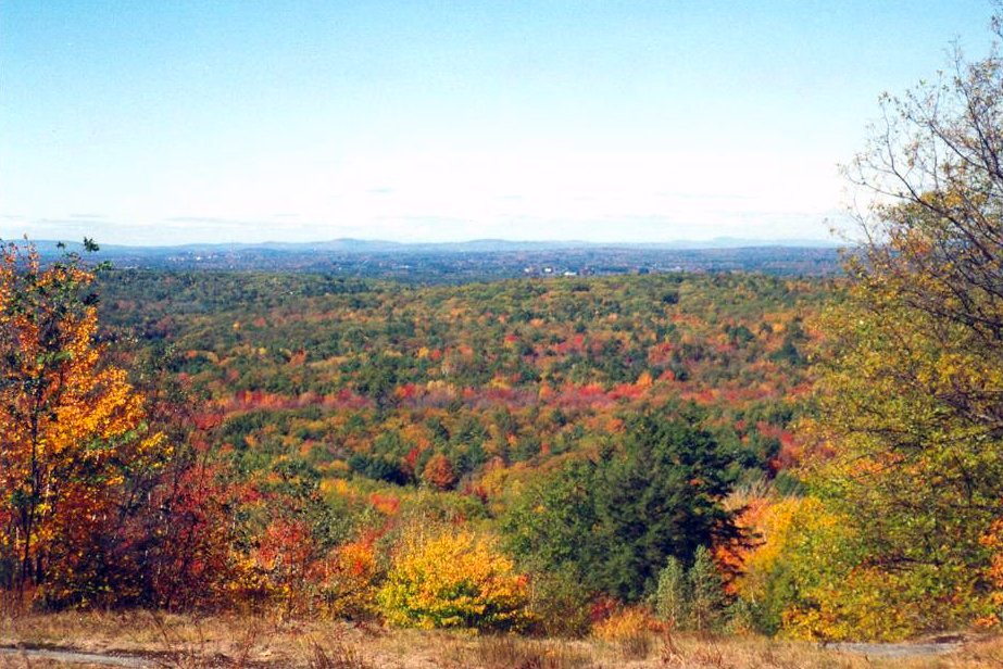
| Description | The Mount Agamenticus region covers nearly 30,000 acres (121 km²) in the southern Maine towns of Eliot, Ogunquit, South Berwick, Wells and York. | ||
| Date | |||
| Source | originally posted to Flickr as Mount Hope from Mount Agamenticus Fire Tower | ||
| Author | Nancy | ||
| Permission (Reusing this file) |
This file is licensed under the Creative Commons Attribution 2.0 Generic license.
|
File history
Click on a date/time to view the file as it appeared at that time.
| Date/Time | Thumbnail | Dimensions | User | Comment | |
|---|---|---|---|---|---|
| current | 05:15, 28 August 2010 | | 923 × 616 (157 KB) | Flickr upload bot (talk | contribs) | Uploaded from http://flickr.com/photo/36783643@N05/3626402600 using Flickr upload bot |
You cannot overwrite this file.
File usage on Commons
There are no pages that use this file.