File:Mount Jefferson-27527-1.jpg

Size of this preview: 375 × 600 pixels. Other resolutions: 150 × 240 pixels | 300 × 480 pixels | 480 × 768 pixels | 640 × 1,024 pixels | 1,600 × 2,560 pixels.
Original file (1,600 × 2,560 pixels, file size: 1.8 MB, MIME type: image/jpeg)
Captions
Captions
Add a one-line explanation of what this file represents
| Description |
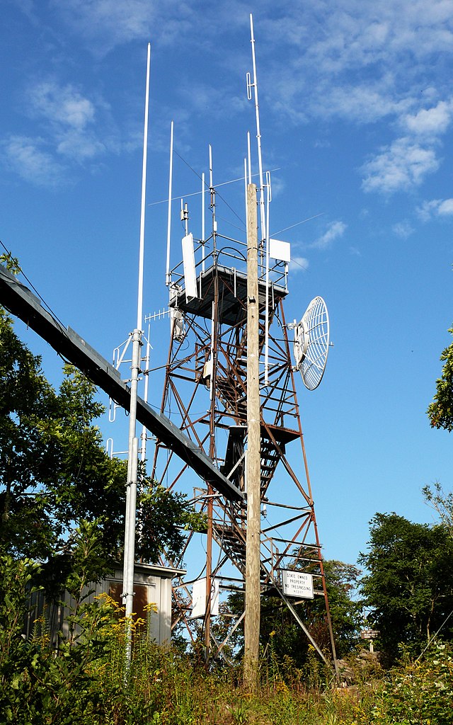
This old Aermotor-style fire tower at the summit of Mount Jefferson is now utilized to support modern telecommunications infrastructure. Photo taken with a Panasonic Lumix DMC-FZ50 in Ashe County, NC, USA. |
| Date | 21 September 2008, 17:30 −04:00 |
| Source |
KenThomas.us (personal website of photographer) |
| Author | Ken Thomas |
| Permission (Reusing this file) |
This image is released to the public domain, and therefore no permission or credit is required. Comments and/or feedback however, are always welcome. See my user page for contact info. |
| Camera location | | View this and other nearby images on: OpenStreetMap |
|---|
Licensing edit
| I, the copyright holder of this work, release this work into the public domain. This applies worldwide. In some countries this may not be legally possible; if so: I grant anyone the right to use this work for any purpose, without any conditions, unless such conditions are required by law. |
File history
Click on a date/time to view the file as it appeared at that time.
| Date/Time | Thumbnail | Dimensions | User | Comment | |
|---|---|---|---|---|---|
| current | 03:56, 22 September 2008 | | 1,600 × 2,560 (1.8 MB) | Ken Thomas (talk | contribs) | {{Information |Description=This old Aermotor-style fire tower at the summit of Mount Jefferson is now utilized to support modern telecommunications infrastructure.<br>[[w: |
You cannot overwrite this file.
File usage on Commons
The following page uses this file: