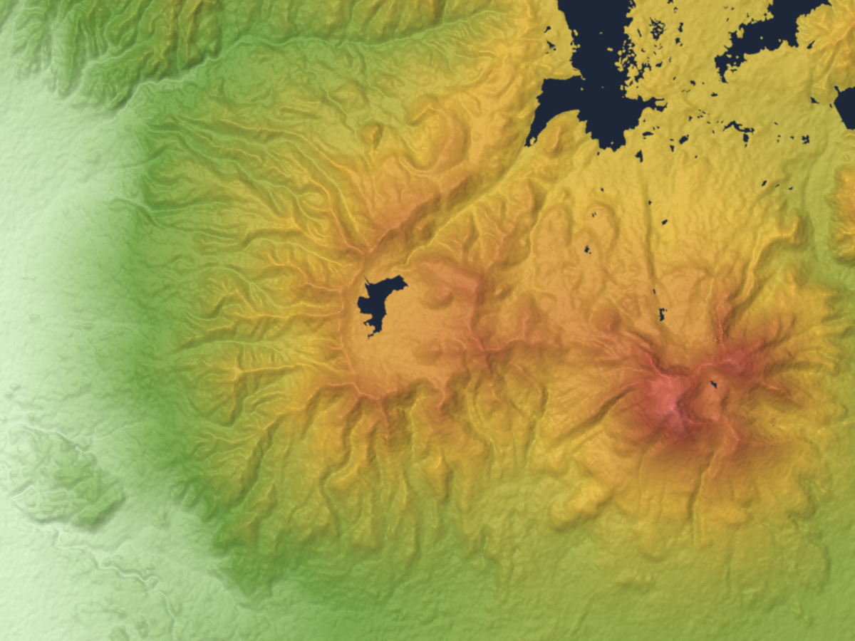
File:Mount Nekomagadake Relief Map, SRTM-1.jpg
Size of this preview: 800 × 600 pixels. Other resolutions: 320 × 240 pixels | 640 × 480 pixels | 1,024 × 768 pixels | 1,200 × 900 pixels.
Original file (1,200 × 900 pixels, file size: 654 KB, MIME type: image/jpeg)
Captions
Captions
Add a one-line explanation of what this file represents
Summary edit
| Description | |
| Date | |
| Source |
Topographic data: NASA's SRTM-1 30m Mesh (ver.3 2014) |
| Author | Batholith |
| Other versions |
 |
| Object location | | View this and other nearby images on: OpenStreetMap |
|---|
Licensing edit
| I, the copyright holder of this work, release this work into the public domain. This applies worldwide. In some countries this may not be legally possible; if so: I grant anyone the right to use this work for any purpose, without any conditions, unless such conditions are required by law. |
This image uses high-resolution digital topography data from NASA's Shuttle Radar Topography Mission (SRTM) at JPL-Caltech [1]. It is in the public domain in the United States.
|
 | |
File history
Click on a date/time to view the file as it appeared at that time.
| Date/Time | Thumbnail | Dimensions | User | Comment | |
|---|---|---|---|---|---|
| current | 15:57, 8 March 2016 | | 1,200 × 900 (654 KB) | Batholith (talk | contribs) | {{Information |Description= {{en|Relief map of Nekoma volcano (left) & Bandai volcano (right), Fukushima Prefecture, Tōhoku region, [[:en:Honshu|Honsh... |
You cannot overwrite this file.
File usage on Commons
The following 3 pages use this file:
File usage on other wikis
The following other wikis use this file:
- Usage on en.wikipedia.org
- Usage on ja.wikipedia.org
- Usage on www.wikidata.org