File:NH2-IN.svg

Size of this PNG preview of this SVG file: 450 × 600 pixels. Other resolutions: 180 × 240 pixels | 360 × 480 pixels | 576 × 768 pixels | 768 × 1,024 pixels | 1,537 × 2,048 pixels | 451 × 601 pixels.
Original file (SVG file, nominally 451 × 601 pixels, file size: 3 KB)
Captions
Captions
Add a one-line explanation of what this file represents
Summary edit
| Description |
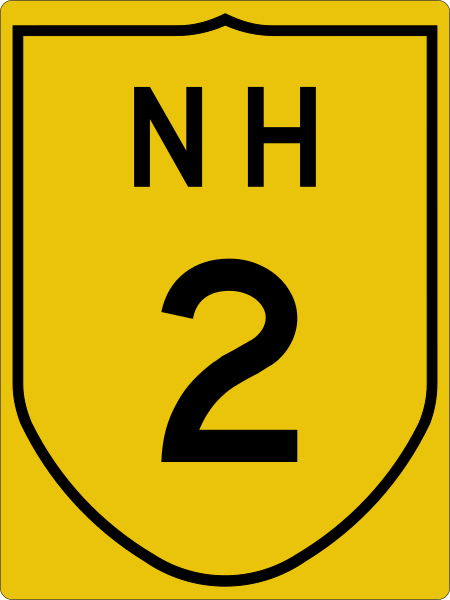
English: Indian National Highway 2 sign |
| Date | |
| Source | Indian Roads Congress (archive dated 2016-03-04) 2-1968 |
| Author | Indian Road Congress (design); template by Fredddie; image by Imzadi1979 |
Licensing edit
| This image of simple geometry is ineligible for copyright and therefore in the public domain, because it consists entirely of information that is common property and contains no original authorship. |  |
File history
Click on a date/time to view the file as it appeared at that time.
| Date/Time | Thumbnail | Dimensions | User | Comment | |
|---|---|---|---|---|---|
| current | 08:29, 17 May 2015 | | 451 × 601 (3 KB) | Imzadi1979 (talk | contribs) | correct color per Indian Roads Congress documentation |
| 19:09, 28 July 2012 |  | 450 × 600 (6 KB) | Knochen (talk | contribs) | {{Information |Description={{de|Sign of Indian National Highway 2}} |Source=File:NH209-IN.svg |Date=2012-07-28 |Author=AleXXw *derivative work: Knochen |Permission= |other_versions= }} {{PD-ineligible}} [[Category:... |
You cannot overwrite this file.
File usage on Commons
The following 2 pages use this file:
File usage on other wikis
The following other wikis use this file:
- Usage on bh.wikipedia.org
- Usage on bn.wikipedia.org
- Usage on de.wikipedia.org
- Usage on de.wikivoyage.org
- Usage on en.wikipedia.org
- Nagaland
- Parasnath railway station
- List of highways numbered 2
- Bagodar (community development block)
- Kohima district
- Mokokchung district
- Wokha district
- AH1
- AH2
- Salanpur (community development block)
- National Highway 202 (India)
- Highways and expressways in Delhi
- National Highway 2 (India, old numbering)
- Martin's Light Railways
- National Highway 102 (India)
- Hazaribagh Road railway station
- Wikipedia talk:WikiProject Indian roads/Archive 1
- Dhanbad Junction railway station
- Jamui railway station
- Barhiya railway station
- Barh railway station
- Bakhtiyarpur Junction railway station
- Koderma Junction railway station
- User:Useddenim/sandbox
- Netaji Subhas Chandra Bose Gomoh railway station
- Nimiaghat railway station
- Pandit Deen Dayal Upadhyaya Junction – Kanpur section
- Template:Mughalsarai–Kanpur section
- Prayagraj Junction railway station
- Template:Railways in Prayagraj
- Kanpur–Delhi section
- Template:Kanpur–Delhi section
View more global usage of this file.