File:NZ-Clutha R.png
Size of this preview: 530 × 599 pixels. Other resolutions: 212 × 240 pixels | 425 × 480 pixels | 679 × 768 pixels | 1,234 × 1,395 pixels.
Original file (1,234 × 1,395 pixels, file size: 233 KB, MIME type: image/png)
Captions
Captions
Add a one-line explanation of what this file represents
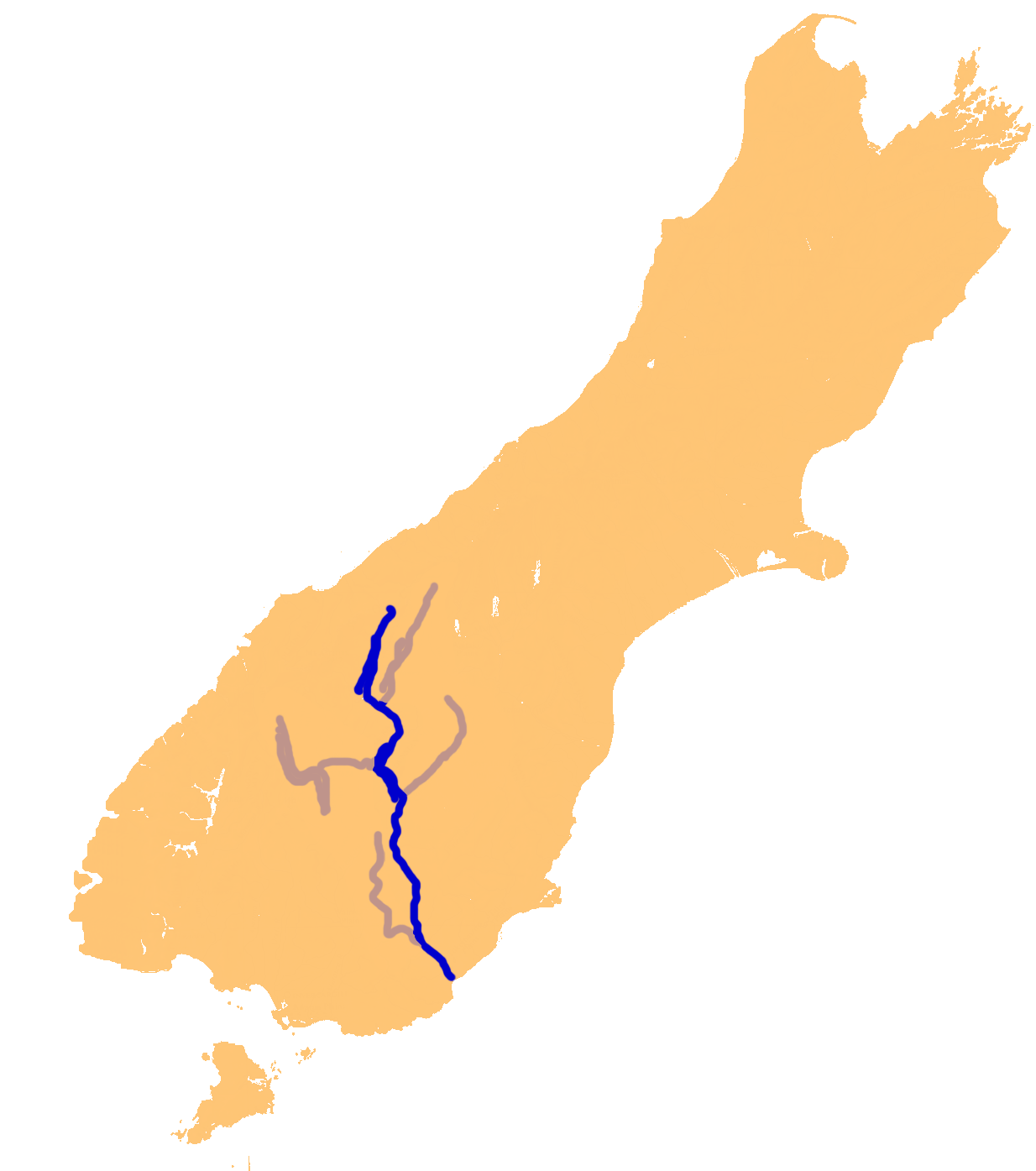
| Description | Location map of Clutha River, South Island, New Zealand | ||
| Source | en:wikipedia | ||
| Author | James Dignan (en:User:Grutness) | ||
| Permission (Reusing this file) |
|
File history
Click on a date/time to view the file as it appeared at that time.
| Date/Time | Thumbnail | Dimensions | User | Comment | |
|---|---|---|---|---|---|
| current | 22:04, 2 November 2006 | | 1,234 × 1,395 (233 KB) | 2000 (talk | contribs) | {{Information |Description=Location map of Clutha River, South Island, New Zealand |Source=en:wikipedia |Date= |Author=James Dignan (en:User:Grutness) |Permission={{PD}} |other_versions= }} Category:Maps of New Zealand [[en:Image:NZ-Clutha_R.png |
You cannot overwrite this file.
File usage on Commons
The following page uses this file:
File usage on other wikis
The following other wikis use this file:
- Usage on an.wikipedia.org
- Usage on cs.wikipedia.org
- Usage on es.wikipedia.org
- Usage on fr.wikipedia.org
- Usage on he.wikipedia.org
- Usage on no.wikipedia.org
- Usage on pl.wikipedia.org
- Usage on ru.wikipedia.org
- Usage on simple.wikipedia.org
- Usage on sv.wikipedia.org
- Usage on uk.wikipedia.org
- Usage on www.wikidata.org
- Usage on zh.wikipedia.org