File:Naskali laht, 2010-05.jpg

Size of this preview: 799 × 359 pixels. Other resolutions: 320 × 144 pixels | 640 × 288 pixels | 1,024 × 460 pixels | 1,280 × 575 pixels | 2,560 × 1,150 pixels | 5,021 × 2,256 pixels.
Original file (5,021 × 2,256 pixels, file size: 2.77 MB, MIME type: image/jpeg)
Captions
Captions
Add a one-line explanation of what this file represents
| Description |
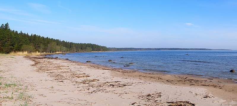
English: Naskali bay, Gulf of Finland,Lahemaa National Park, Estonia. |
||
| Date | |||
| Source | Own work | ||
| Author | Hannu | ||
| Permission (Reusing this file) |
|
| Camera location | | View this and other nearby images on: OpenStreetMap |
|---|
File history
Click on a date/time to view the file as it appeared at that time.
| Date/Time | Thumbnail | Dimensions | User | Comment | |
|---|---|---|---|---|---|
| current | 21:49, 3 March 2011 | | 5,021 × 2,256 (2.77 MB) | Hannu~commonswiki (talk | contribs) | {{Information |Description ={{et|1=Naskali laht Lahemaal Hara lahes Tapurla ja Juminda vahel.}} {{en|1=Naskali bay, Gulf of Finland,Lahemaa National Park, Estonia.}} |Source ={{o |
You cannot overwrite this file.
File usage on Commons
The following page uses this file:
File usage on other wikis
The following other wikis use this file:
- Usage on et.wikipedia.org