File:Nautical-chart-1.jpg
Size of this preview: 800 × 594 pixels. Other resolutions: 320 × 237 pixels | 640 × 475 pixels | 1,016 × 754 pixels.
Original file (1,016 × 754 pixels, file size: 155 KB, MIME type: image/jpeg)
Captions
Captions
Add a one-line explanation of what this file represents
Summary edit
| Description |
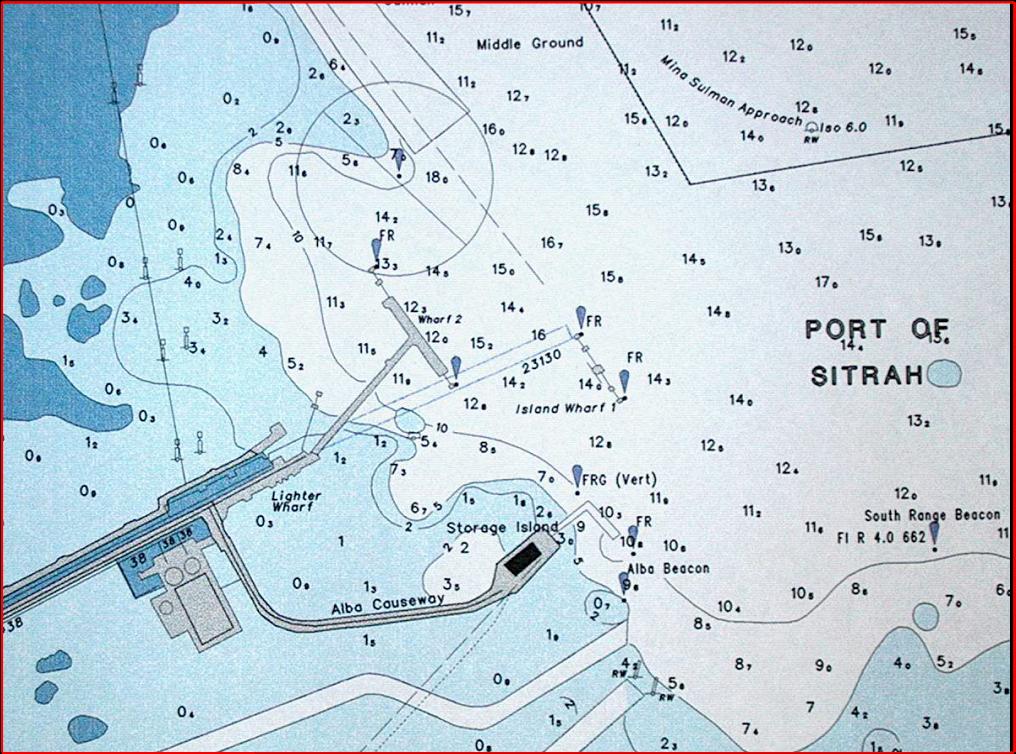
English: This is a segment of an automatically labeled nautical chart. |
| Date | 12 October 2007 (original upload date) |
| Source | Own work |
| Author | User:MapXpert |
Licensing edit
| This work has been released into the public domain by its author, MapXpert. This applies worldwide. In some countries this may not be legally possible; if so: |
Original upload log edit
Transferred from en.wikipedia to Commons using For the Common Good.
The original description page was here. All following user names refer to en.wikipedia.
| Date/Time | Dimensions | User | Comment |
|---|---|---|---|
| 16:05, 12 October 2007 | 1,016 × 754 (159,129 bytes) | w:en:MapXpert (talk | contribs) | (This is a segment of an automatically labele nautical chart.) |
File history
Click on a date/time to view the file as it appeared at that time.
| Date/Time | Thumbnail | Dimensions | User | Comment | |
|---|---|---|---|---|---|
| current | 01:16, 28 May 2013 | | 1,016 × 754 (155 KB) | Fredlyfish4 (talk | contribs) | Transferred from en.wikipedia: see original upload log above |
You cannot overwrite this file.
File usage on Commons
There are no pages that use this file.
File usage on other wikis
The following other wikis use this file:
- Usage on en.wikipedia.org
- Usage on he.wikipedia.org
- Usage on www.wikidata.org