File:Near Ashikuraji, , Japan (3728845260).jpg
No higher resolution available.
Near_Ashikuraji,_,_Japan_(3728845260).jpg (800 × 600 pixels, file size: 187 KB, MIME type: image/jpeg)
Captions
Captions
Add a one-line explanation of what this file represents
Summary edit
.jpg&action=edit§ion=1)
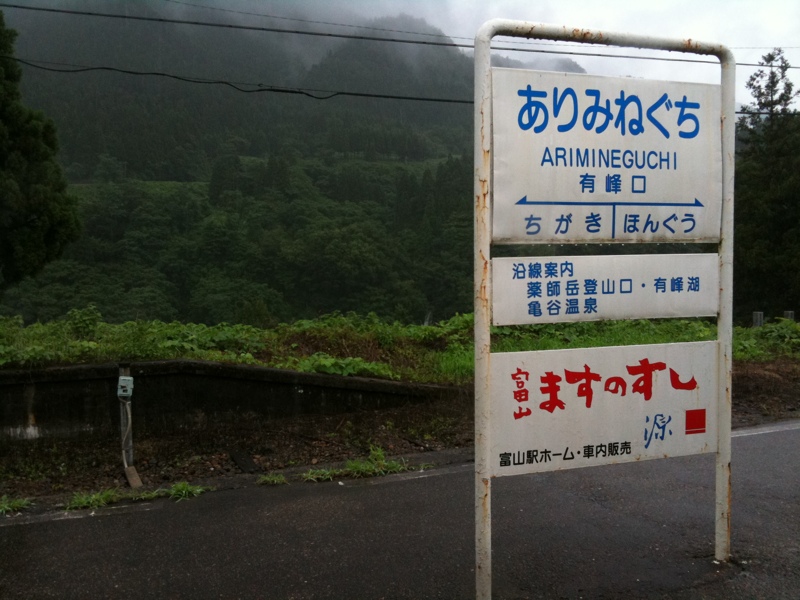
| Description | 立川へ。いざ黒部アルペンルート! |
| Date | |
| Source | near Ashikuraji, , Japan |
| Author | doronko from TOKYO, JAPAN |
| Camera location | | View this and other nearby images on: OpenStreetMap |
|---|
.jpg¶ms=036.579783_N_0137.389193_E_globe:Earth_type:camera_source:Flickr_&language=en)
Licensing edit
.jpg&action=edit§ion=2)
This file is licensed under the Creative Commons Attribution-Share Alike 2.0 Generic license.
- You are free:
- to share – to copy, distribute and transmit the work
- to remix – to adapt the work
- Under the following conditions:
- attribution – You must give appropriate credit, provide a link to the license, and indicate if changes were made. You may do so in any reasonable manner, but not in any way that suggests the licensor endorses you or your use.
- share alike – If you remix, transform, or build upon the material, you must distribute your contributions under the same or compatible license as the original.
| This image was originally posted to Flickr by doronko at https://flickr.com/photos/25962965@N04/3728845260. It was reviewed on 28 August 2017 by FlickreviewR and was confirmed to be licensed under the terms of the cc-by-sa-2.0. |
File history
Click on a date/time to view the file as it appeared at that time.
| Date/Time | Thumbnail | Dimensions | User | Comment | |
|---|---|---|---|---|---|
| current | 13:29, 28 August 2017 | | 800 × 600 (187 KB) | Benzoyl (talk | contribs) | Transferred from Flickr via Flickr2Commons |
You cannot overwrite this file.
File usage on Commons
The following 2 pages use this file:
.jpg&oldid=497689105)