File:Near East topographic map-blank.svg

Size of this PNG preview of this SVG file: 800 × 522 pixels. Other resolutions: 320 × 209 pixels | 640 × 417 pixels | 1,024 × 668 pixels | 1,280 × 835 pixels | 2,560 × 1,669 pixels | 2,425 × 1,581 pixels.
Original file (SVG file, nominally 2,425 × 1,581 pixels, file size: 2.33 MB)
Captions
Captions
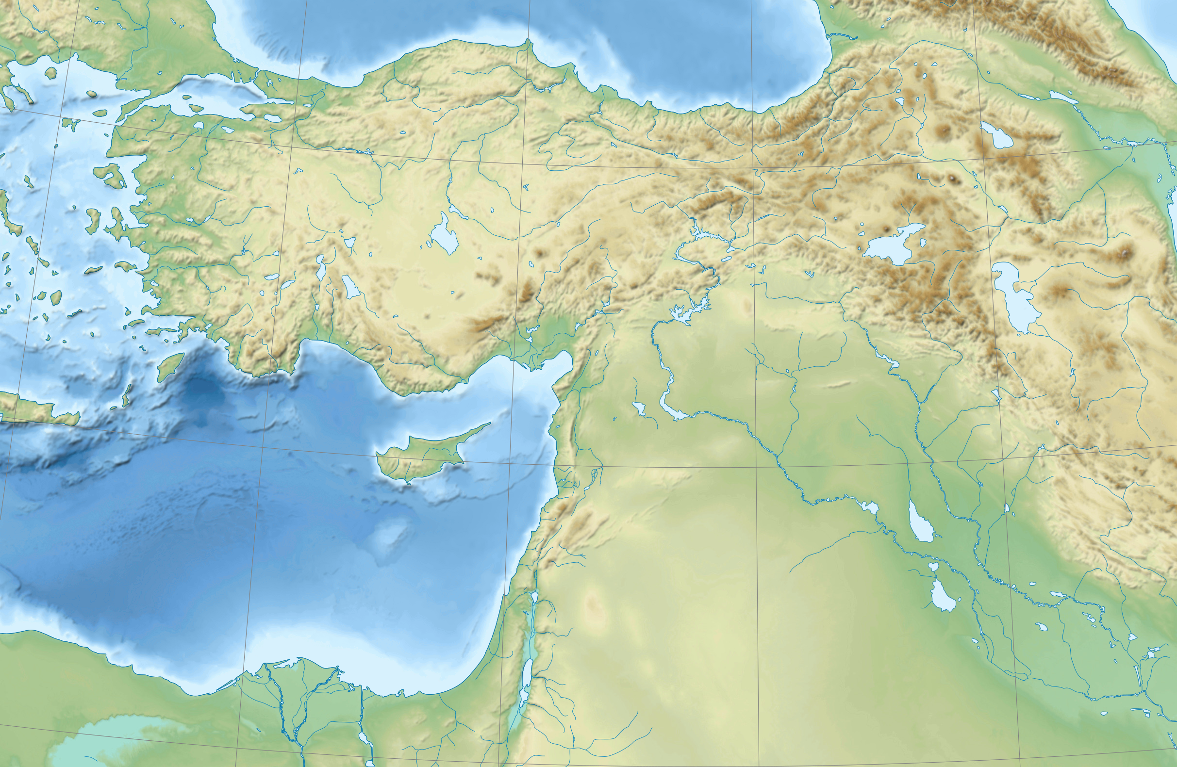
country map of the Near East
Summary edit
| Camera location | | View this and other nearby images on: OpenStreetMap |
|---|
Licensing edit
I, the copyright holder of this work, hereby publish it under the following licenses:
| Copyleft: This work of art is free; you can redistribute it and/or modify it according to terms of the Free Art License. You will find a specimen of this license on the Copyleft Attitude site as well as on other sites. |
This file is licensed under the Creative Commons Attribution-Share Alike 4.0 International, 3.0 Unported, 2.5 Generic, 2.0 Generic and 1.0 Generic license.
- You are free:
- to share – to copy, distribute and transmit the work
- to remix – to adapt the work
- Under the following conditions:
- attribution – You must give appropriate credit, provide a link to the license, and indicate if changes were made. You may do so in any reasonable manner, but not in any way that suggests the licensor endorses you or your use.
- share alike – If you remix, transform, or build upon the material, you must distribute your contributions under the same or compatible license as the original.
You may select the license of your choice.
File history
Click on a date/time to view the file as it appeared at that time.
| Date/Time | Thumbnail | Dimensions | User | Comment | |
|---|---|---|---|---|---|
| current | 18:31, 18 August 2009 | | 2,425 × 1,581 (2.33 MB) | Sémhur (talk | contribs) | 3 - New try |
| 15:39, 17 August 2009 |  | 2,425 × 1,581 (1.73 MB) | Sémhur (talk | contribs) | 2 - With the background... | |
| 15:37, 17 August 2009 |  | 2,425 × 1,581 (3 KB) | Sémhur (talk | contribs) | {{Information |Description={{en|1=Blank physical map of the Near East}} {{fr|1=Carte physique vierge du Proche-Orient.}} |Source={{own}} |Author=Sémhur |Date=2008-08-17 |Permission= |other_versions |
You cannot overwrite this file.
File usage on Commons
The following 52 pages use this file:
- File:Anatolie hittite.svg
- File:Asia Minor in the Greco-Roman period - general map - regions and main settlements.jpg
- File:Asia Minor in the Greco-Roman period - general map - regions and main settlements (cropped).jpg
- File:Assyrie general.PNG
- File:Babylone 1.PNG
- File:Basse Mesopotamie 1mil.png
- File:Basse Mesopotamie Akkad.png
- File:Basse Mesopotamie DA.PNG
- File:Basse Mesopotamie PB.PNG
- File:Basse Mesopotamie Ur3.png
- File:Carte du Mitanni.png
- File:First Eblaite Empire.png
- File:Haute Mesopotamie Syrie Parthes.svg
- File:Hethiter.svg
- File:KarumKanis.svg
- File:Kultorte.png
- File:Levant Amarna.svg
- File:Luwiya.svg
- File:Mithridates in 88aC.png
- File:Mithridates in 89aC.png
- File:Moyen Orient 1600 aC.svg
- File:Médio-assyrien.png
- File:Neo-hittites et arameens.svg
- File:Phenicie sites.svg
- File:Roma in Oriente 101aC.png
- File:Roma in Oriente 127aC.png
- File:Roma in Oriente 129aC.png
- File:Roma in Oriente 62aC.png
- File:Roma in Oriente 63aC.png
- File:Roma in Oriente 64aC.png
- File:Roma in Oriente 65aC.png
- File:Roma in Oriente 66aC.png
- File:Roma in Oriente 67aC.png
- File:Roma in Oriente 68aC.png
- File:Roma in Oriente 70-69aC.png
- File:Roma in Oriente 73-71aC.png
- File:Roma in Oriente 74aC.png
- File:Roma in Oriente 92aC.png
- File:Salmo kottelati distribution range.jpg
- File:Samsi Addu.PNG
- File:Second Eblaite Empire.png
- File:Second Mariote kingdom.png
- File:Sites hittites.svg
- File:Syrie 3mil aC.svg
- File:Syrie hittite.svg
- File:Third Mari.png
- File:Urartu extension.svg
- File:Urartu forteresses.JPG
- File:Urartu forteresses.svg
- File:Uruk period north.JPG
- File:Villes assyriennes.PNG
- File:Yamhad and Vassals.png
.jpg)
File usage on other wikis
The following other wikis use this file:
- Usage on ar.wikipedia.org
- Usage on arz.wikipedia.org
- Usage on azb.wikipedia.org
- Usage on bn.wikipedia.org
- Usage on de.wikipedia.org
- Usage on en.wikipedia.org
- Near East
- Retjenu
- Ottoman Army (1861–1922)
- Module:Location map/data/Ottoman Empire1914
- User:Zoeperkoe/sandbox
- Module:Location map/data/Ottoman Empire1914/doc
- User:Falcaorib
- User:Kentronhayastan/Origin of the Armenians
- Causes of the Armenian genocide
- User:Maka'alaKaono/sandbox
- User:Maka'alaKaono/Retjenu
- Usage on fr.wikipedia.org
- Usage on ku.wikipedia.org
- Usage on la.wikipedia.org
- Usage on pt.wikipedia.org
- Usage on ru.wikipedia.org
- Usage on sd.wikipedia.org
- Usage on si.wikipedia.org
- Usage on th.wikipedia.org
- Usage on war.wikipedia.org
- Usage on zh.wikipedia.org