File:NelsonIslandBritishColumbia.png

Size of this preview: 633 × 599 pixels. Other resolutions: 253 × 240 pixels | 507 × 480 pixels | 699 × 662 pixels.
Original file (699 × 662 pixels, file size: 827 KB, MIME type: image/png)
Captions
Captions
Add a one-line explanation of what this file represents
Summary
edit
| Description |
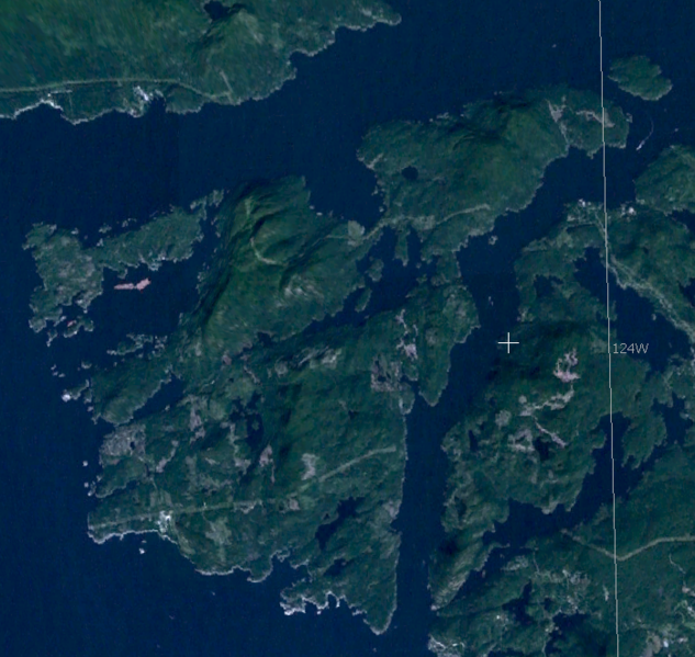
English: Satellite imagery of Nelson Island, British Columbia, Canada |
| Date | |
| Source | Screen Shot taken from World Wind |
| Author | NASA |
Licensing
edit
| This image is in the public domain because it is a screenshot from NASA’s globe software World Wind using a public domain layer, such as Blue Marble, MODIS, Landsat, SRTM, USGS or GLOBE.
|
 |
File history
Click on a date/time to view the file as it appeared at that time.
| Date/Time | Thumbnail | Dimensions | User | Comment | |
|---|---|---|---|---|---|
| current | 10:48, 1 October 2020 | | 699 × 662 (827 KB) | Ponderosapine210 (talk | contribs) | Adjusted image curve. |
| 09:16, 19 May 2009 |  | 699 × 662 (770 KB) | MADaboutforests (talk | contribs) | {{Information |Description={{en|1=Satellite imagery of Nelson Island, British Columbia, Canada}} |Source=Screen Shot taken from World Wind |Author=NASA |Date=2009 |Permission= |other_versions= }} <!--{{ImageUpload|full}}--> [[Category:Satellite pictures] |
You cannot overwrite this file.
File usage on Commons
There are no pages that use this file.
File usage on other wikis
The following other wikis use this file:
- Usage on ceb.wikipedia.org
- Usage on en.wikipedia.org
- Usage on fr.wikipedia.org
- Usage on www.wikidata.org