File:Netherlands, Baarle-Nassau, Castelré (2).JPG

Size of this preview: 800 × 531 pixels. Other resolutions: 320 × 213 pixels | 640 × 425 pixels | 1,024 × 680 pixels | 1,280 × 850 pixels | 2,144 × 1,424 pixels.
Original file (2,144 × 1,424 pixels, file size: 820 KB, MIME type: image/jpeg)
Captions
Captions
Add a one-line explanation of what this file represents
Summary edit
.JPG&action=edit§ion=1)
| Description |
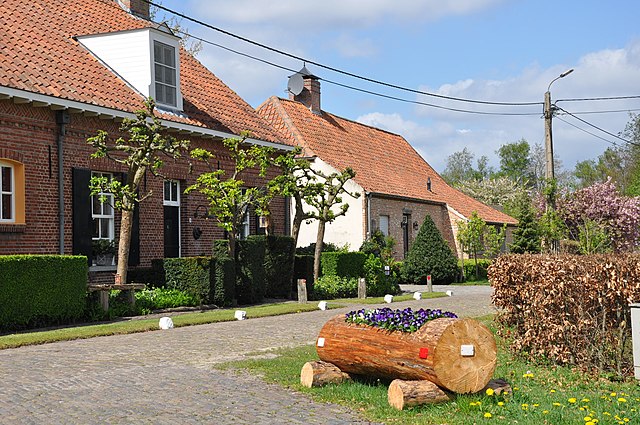
Nederlands: Boerderijen aan het dorpspleintje in Castelré (Gemeente Baarle-Nassau, prov. Noord-Brabant).
English: Farms in Castelré (municipality Baarle-Nassau, province North Brabant, Netherlands). |
| Date | |
| Source | Own work |
| Author | Vincent van Zeijst |
The farms are located at:
| Camera location | | View this and other nearby images on: OpenStreetMap |
|---|
.JPG¶ms=051.425447_N_0004.780083_E_globe:Earth_type:camera__&language=en)
Licensing edit
.JPG&action=edit§ion=2)
This file is licensed under the Creative Commons Attribution-Share Alike 3.0 Unported license.
- You are free:
- to share – to copy, distribute and transmit the work
- to remix – to adapt the work
- Under the following conditions:
- attribution – You must give appropriate credit, provide a link to the license, and indicate if changes were made. You may do so in any reasonable manner, but not in any way that suggests the licensor endorses you or your use.
- share alike – If you remix, transform, or build upon the material, you must distribute your contributions under the same or compatible license as the original.
File history
Click on a date/time to view the file as it appeared at that time.
| Date/Time | Thumbnail | Dimensions | User | Comment | |
|---|---|---|---|---|---|
| current | 19:45, 23 August 2014 | | 2,144 × 1,424 (820 KB) | Loranchet (talk | contribs) | {{Information |Description ={{nl|1=Boerderijen aan het dorpspleintje in Castelré (Gemeente Baarle-Nassau, prov. Noord-Brabant).}} {{en|1=Farms in Castelré (municipality Baarle-Nassau, province North Brabant, Netherlands).}} |Source ={{own}... |
You cannot overwrite this file.
File usage on Commons
There are no pages that use this file.
File usage on other wikis
The following other wikis use this file:
.JPG&oldid=621585177)