File:NevilleIslandPA.jpg
No higher resolution available.
NevilleIslandPA.jpg (600 × 450 pixels, file size: 54 KB, MIME type: image/jpeg)
Captions
Captions
Add a one-line explanation of what this file represents
Summary edit
| Description |
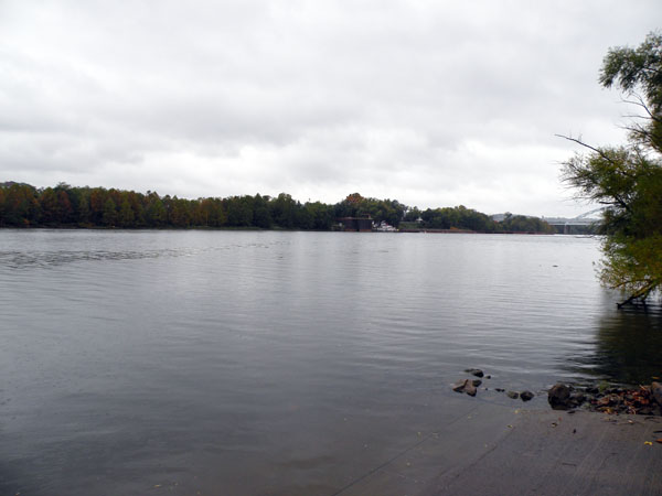
English: Picture of a northern portion of Neville Island, Pennsylvania. A small part of the Neville Island Bridge, which carries Interstate 79 and the Yellow Belt across the Ohio River, can be seen through the trees along the far edge of the right corner. The island is nearly five miles long, and extends from Coraopolis to Stowe Township. Pittsburgh, Pennsylvania, is approximately a 15 minute drive from the island. |
| Date | |
| Source |
self-made Transferred from en.wikipedia |
| Author | Lee Paxton |
| Camera location | | View this and other nearby images on: OpenStreetMap |
|---|
| Object location | | View this and other nearby images on: OpenStreetMap |
|---|
Licensing edit
Leepaxton at en.wikipedia, the copyright holder of this work, hereby publishes it under the following licenses:

|
Permission is granted to copy, distribute and/or modify this document under the terms of the GNU Free Documentation License, Version 1.2 or any later version published by the Free Software Foundation; with no Invariant Sections, no Front-Cover Texts, and no Back-Cover Texts. A copy of the license is included in the section entitled GNU Free Documentation License. |
This file is licensed under the Creative Commons Attribution-Share Alike 4.0 International, 3.0 Unported, 2.5 Generic, 2.0 Generic and 1.0 Generic license.
Attribution: Leepaxton at en.wikipedia
- You are free:
- to share – to copy, distribute and transmit the work
- to remix – to adapt the work
- Under the following conditions:
- attribution – You must give appropriate credit, provide a link to the license, and indicate if changes were made. You may do so in any reasonable manner, but not in any way that suggests the licensor endorses you or your use.
- share alike – If you remix, transform, or build upon the material, you must distribute your contributions under the same or compatible license as the original.
You may select the license of your choice.
Original upload log edit
The original description page was here. All following user names refer to en.wikipedia.
- 2009-10-19 19:51 Leepaxton 600×450 (55530 bytes) {{Information |Description=Picture of a northern portion of [[Neville Island, Pennsylvania]], on October 17, 2009. A small part of the [[Neville Island Bridge]], which carries [[Interstate 79]] and the [[Yellow Belt]] across the [[Ohio River]], can be s
File history
Click on a date/time to view the file as it appeared at that time.
| Date/Time | Thumbnail | Dimensions | User | Comment | |
|---|---|---|---|---|---|
| current | 23:29, 15 October 2011 | | 600 × 450 (54 KB) | BotMultichill (talk | contribs) | {{BotMoveToCommons|en.wikipedia|year={{subst:CURRENTYEAR}}|month={{subst:CURRENTMONTHNAME}}|day={{subst:CURRENTDAY}}}} == {{int:filedesc}} == {{Information |description={{en|1=Picture of a northern portion of [[:en:Neville Island, Pennsylvania|Neville Is |
You cannot overwrite this file.
File usage on Commons
There are no pages that use this file.
File usage on other wikis
The following other wikis use this file:
- Usage on en.wikipedia.org