File:Nijmegen DBC 1616 met omgeleide Dolimetrein (33423955695).jpg
Size of this preview: 800 × 496 pixels. Other resolutions: 320 × 198 pixels | 640 × 396 pixels | 1,024 × 634 pixels | 1,280 × 793 pixels | 2,560 × 1,586 pixels | 4,346 × 2,692 pixels.
Original file (4,346 × 2,692 pixels, file size: 8.04 MB, MIME type: image/jpeg)
Captions
Captions
Add a one-line explanation of what this file represents
Summary edit
.jpg&action=edit§ion=1)
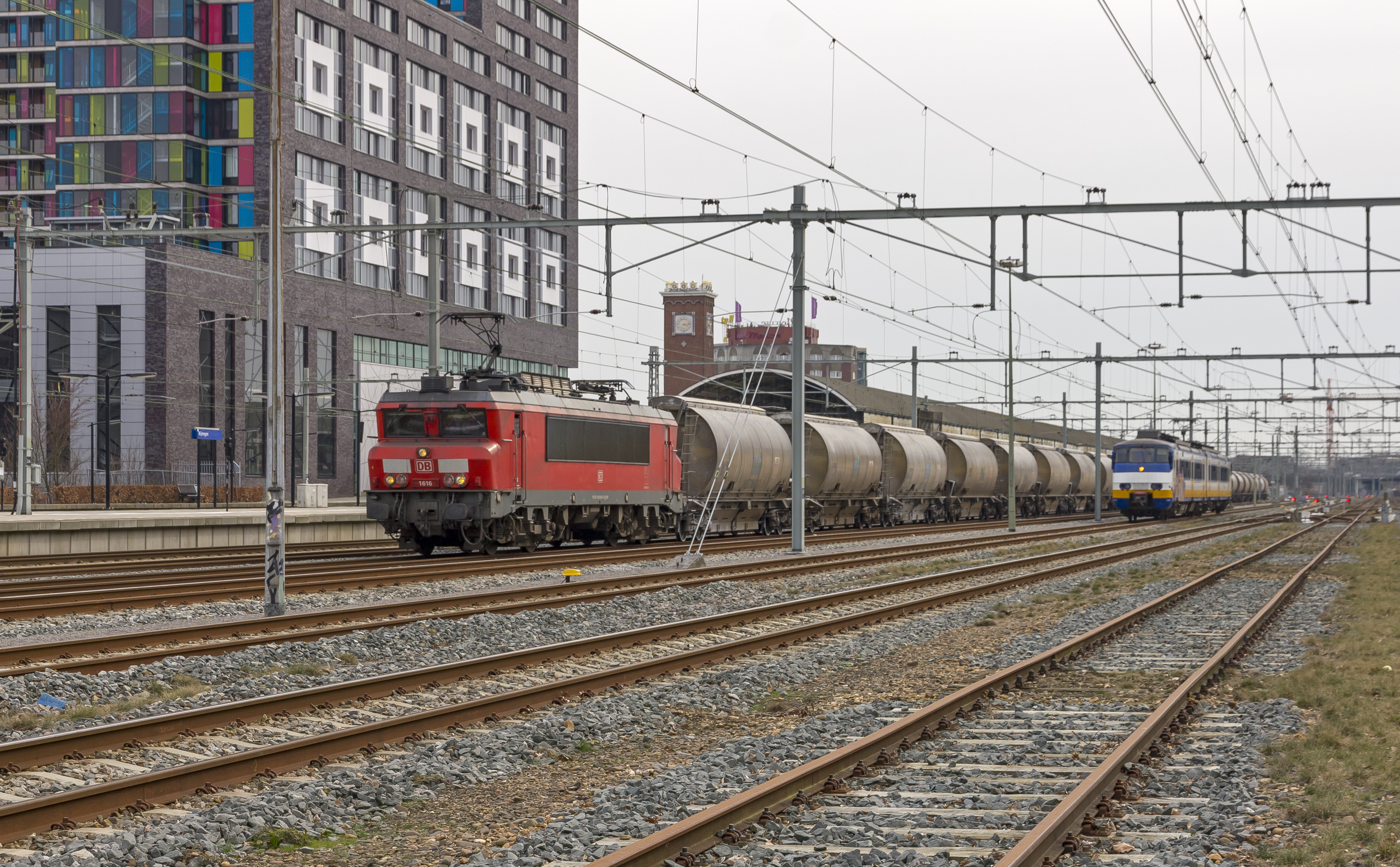
| Description | De volle Dolimetrein uit Hermalle (B) via een omleidingsroute op weg naar Veendam. De trein met loc 1616 staat in Nijmegen aan de kant om later in noordelijke richting verder te gaan. |
| Date | |
| Source | Nijmegen DBC 1616 met omgeleide Dolimetrein |
| Author | Rob Dammers |
| Camera location | | View this and other nearby images on: OpenStreetMap |
|---|
.jpg¶ms=051.847868_N_0005.853137_E_globe:Earth_type:camera_source:Flickr_&language=en)
Licensing edit
.jpg&action=edit§ion=2)
This file is licensed under the Creative Commons Attribution 2.0 Generic license.
- You are free:
- to share – to copy, distribute and transmit the work
- to remix – to adapt the work
- Under the following conditions:
- attribution – You must give appropriate credit, provide a link to the license, and indicate if changes were made. You may do so in any reasonable manner, but not in any way that suggests the licensor endorses you or your use.
| This image was originally posted to Flickr by Rob Dammers at https://flickr.com/photos/93388157@N07/33423955695 (archive). It was reviewed on 7 February 2018 by FlickreviewR 2 and was confirmed to be licensed under the terms of the cc-by-2.0. |
File history
Click on a date/time to view the file as it appeared at that time.
| Date/Time | Thumbnail | Dimensions | User | Comment | |
|---|---|---|---|---|---|
| current | 04:02, 7 February 2018 | | 4,346 × 2,692 (8.04 MB) | Artix Kreiger 2 (talk | contribs) | Transferred from Flickr via Flickr2Commons |
You cannot overwrite this file.
File usage on Commons
There are no pages that use this file.
.jpg&oldid=876036332)