File:NordQuébec.png
No higher resolution available.
NordQuébec.png (444 × 520 pixels, file size: 64 KB, MIME type: image/png)
Captions
Captions
Add a one-line explanation of what this file represents
Summary edit
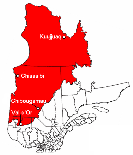
| Description | Carte du Nord du Québec (territoire visé par la Convention de la Baie-James et du Nord québécois de 1975); Adaptée de "Image:Quejam2.PNG" |
| Date | 30 December 2005 (original upload date) |
| Source | No machine-readable source provided. Own work assumed (based on copyright claims). |
| Author | No machine-readable author provided. Joseph B~commonswiki assumed (based on copyright claims). |
Licensing edit
| I, the copyright holder of this work, release this work into the public domain. This applies worldwide. In some countries this may not be legally possible; if so: I grant anyone the right to use this work for any purpose, without any conditions, unless such conditions are required by law. |
File history
Click on a date/time to view the file as it appeared at that time.
| Date/Time | Thumbnail | Dimensions | User | Comment | |
|---|---|---|---|---|---|
| current | 23:35, 15 March 2012 | | 444 × 520 (64 KB) | Jeangagnon (talk | contribs) | nom des villes en blanc |
| 23:26, 15 March 2012 |  | 444 × 520 (64 KB) | Jeangagnon (talk | contribs) | image tournée de 17 degrés + réécriture du nom des villes | |
| 06:11, 30 December 2005 |  | 418 × 480 (16 KB) | Joseph B~commonswiki (talk | contribs) | Carte du Nord du Québec (territoire visé par la Convention de la Baie-James et du Nord québécois de 1975); Adaptée de "Image:Quejam2.PNG" |
You cannot overwrite this file.
File usage on Commons
There are no pages that use this file.
File usage on other wikis
The following other wikis use this file:
- Usage on en.wikipedia.org
- Usage on es.wikipedia.org
- Usage on fr.wikipedia.org