File:Nordgrabenwehr.png

Size of this preview: 800 × 498 pixels. Other resolutions: 320 × 199 pixels | 640 × 399 pixels | 1,024 × 638 pixels | 1,448 × 902 pixels.
Original file (1,448 × 902 pixels, file size: 658 KB, MIME type: image/png)
Captions
Captions
Add a one-line explanation of what this file represents
Summary edit
| Description |
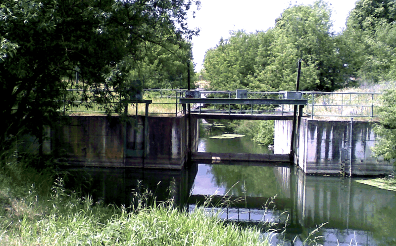
English: Weir at the river Panke, regulation of water between river and Nordgraben
Deutsch: Das Wehr am unteren Ende des Blankenburger Pankebeckens zur Überleitung in den Nordgraben |
| Date | |
| Source | Own work |
| Author | Boonekamp |
| Camera location | | View this and other nearby images on: OpenStreetMap |
|---|
Licensing edit
| I, the copyright holder of this work, release this work into the public domain. This applies worldwide. In some countries this may not be legally possible; if so: I grant anyone the right to use this work for any purpose, without any conditions, unless such conditions are required by law. |
File history
Click on a date/time to view the file as it appeared at that time.
| Date/Time | Thumbnail | Dimensions | User | Comment | |
|---|---|---|---|---|---|
| current | 19:00, 15 June 2008 | | 1,448 × 902 (658 KB) | Boonekamp (talk | contribs) | {{Information |Description={{en|1=Weir at the river Panke, regulation of warter between river and Nordgraben}} {{de|1=Das Wehr am unteren Ende des Blankenburger Pankebeckens zur Überleitung in den Nordgraben}} |Source=Eigenes Werk (own work) |Author=[[Us |
You cannot overwrite this file.
File usage on Commons
The following page uses this file: