File:Norfolk1880.PNG
Original file (611 × 700 pixels, file size: 1.03 MB, MIME type: image/png)
Captions
Captions
| Description |
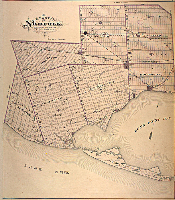
English: This map is originally from the book:
Illustrated historical atlas of the county of Norfolk, Ont. Toronto : H.R. Page & Co., 1877. The map was scanned from this book as part of the McGill University Canadian County Atlas Digital Project. (See: http://digital.library.mcgill.ca/countyatlas/default.htm) I downloaded this image of the map from their project website, specifically: http://digital.library.mcgill.ca/countyatlas/Norfolk.htm
|
| Source | |
| Author |
Licensing edit
This Canadian work is in the public domain in Canada because its copyright has expired due to one of the following:
it was not subject to Crown copyright, and
|
 |
Original upload log edit
- 2006-05-06 06:07 Thirty-seven 611×700× (1075164 bytes) This map is originally from the book: Illustrated historical atlas of the county of Norfolk, Ont. Toronto : H.R. Page & Co., 1877. The map was scanned from this book as part of the [[McGill University]] Canadian County Atlas Digital Project. (See: http:
File history
Click on a date/time to view the file as it appeared at that time.
| Date/Time | Thumbnail | Dimensions | User | Comment | |
|---|---|---|---|---|---|
| current | 15:00, 13 March 2010 | | 611 × 700 (1.03 MB) | Fralambert (talk | contribs) | {{Information |Description={{en|This map is originally from the book: Illustrated historical atlas of the county of Norfolk, Ont. Toronto : H.R. Page & Co., 1877. The map was scanned from this book as part of the en:McGill University Canadian Count |
You cannot overwrite this file.
File usage on Commons
There are no pages that use this file.
File usage on other wikis
The following other wikis use this file:
- Usage on en.wikipedia.org
- Usage on es.wikipedia.org
- Usage on fr.wikipedia.org
- Usage on uk.wikipedia.org