File:North Korea topographic map.png
Size of this preview: 662 × 600 pixels. Other resolutions: 265 × 240 pixels | 530 × 480 pixels | 895 × 811 pixels.
Original file (895 × 811 pixels, file size: 900 KB, MIME type: image/png)
Captions
Captions
Add a one-line explanation of what this file represents
| Description |
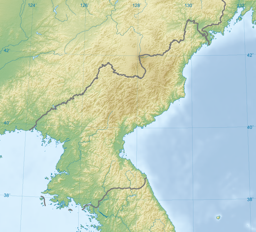
English: Topographic map of the territory claimed by North Korea. 한국어: 한국의 지형도. |
| Date | (UTC) |
| Source | |
| Author |
|
| This is a retouched picture, which means that it has been digitally altered from its original version. Modifications: Focus on North Korea. The original can be viewed here: Korea topographic map.png:
|
I, the copyright holder of this work, hereby publish it under the following licenses:
| This file is licensed under the Creative Commons Attribution-Share Alike 3.0 Unported license. | ||
| ||
| This licensing tag was added to this file as part of the GFDL licensing update. |

|
Permission is granted to copy, distribute and/or modify this document under the terms of the GNU Free Documentation License, Version 1.2 or any later version published by the Free Software Foundation; with no Invariant Sections, no Front-Cover Texts, and no Back-Cover Texts. A copy of the license is included in the section entitled GNU Free Documentation License. |
You may select the license of your choice.
The map has been created with the Generic Mapping Tools: https://www.generic-mapping-tools.org/ using one or more of these public-domain datasets for the relief:
|
|
|
Permission is granted to copy, distribute and/or modify this document under the terms of the GNU Free Documentation License, Version 1.2 or any later version published by the Free Software Foundation; with no Invariant Sections, no Front-Cover Texts, and no Back-Cover Texts. A copy of the license is included in the section entitled GNU Free Documentation License. |
Original upload log edit
This image is a derivative work of the following images:
- File:Korea_topographic_map.png licensed with Cc-by-sa-3.0-migrated, GFDL-GMT
- 2009-02-27T18:00:58Z Ksiom 896x1376 (1236720 Bytes) Reverted to version as of 23:21, 21 February 2009. Unimpaired scale bar
- 2009-02-22T15:08:17Z Valentim 802x1376 (1166208 Bytes) Reverted to version as of 10:45, 31 January 2009. Focused view better.
- 2009-02-21T23:21:51Z Ksiom 896x1376 (1236720 Bytes) Reverted to version as of 22:04, 13 November 2008
- 2009-01-31T10:45:08Z Valentim 802x1376 (1166208 Bytes) View centered on North and South Korea
- 2008-11-13T22:04:13Z Ksiom 896x1376 (1236720 Bytes)
- 2008-08-16T23:11:38Z Ksiom 899x1379 (1364928 Bytes)
- 2008-08-15T19:33:54Z Ksiom 1039x1494 (1421540 Bytes)
- 2008-08-15T18:34:11Z Ksiom 1040x1494 (1422175 Bytes) UTM Projection
- 2008-08-09T00:52:24Z Ksiom 1000x1450 (1391016 Bytes) {{Information |Description={{en|1=Topographic map of Korea.}} {{ko|1=한국의 지형도.}} |Source=Own work by uploader |Author=[[User:Ksiom|Ksiom]] |Date=2008-08-09 |Permission={{GFDL-GMT}} |other_versions= }} {{ImageUploa
Uploaded with derivativeFX
File history
Click on a date/time to view the file as it appeared at that time.
| Date/Time | Thumbnail | Dimensions | User | Comment | |
|---|---|---|---|---|---|
| current | 07:02, 28 November 2010 | | 895 × 811 (900 KB) | TCY (talk | contribs) | {{Information |Description={{en|1=Topographic map of North Korea.}} {{ko|1=한국의 지형도.}} |Source=*File:Korea_topographic_map.png |Date=2010-11-28 07:02 (UTC) |Author=*File:Korea_topographic_map.png: Ksiom *derivative wo |
You cannot overwrite this file.
File usage on Commons
There are no pages that use this file.
File usage on other wikis
The following other wikis use this file:
- Usage on ca.wikipedia.org
- Usage on fr.wikipedia.org
- Usage on mt.wikipedia.org