File:North Macedonia location map.svg

Size of this PNG preview of this SVG file: 724 × 600 pixels. Other resolutions: 290 × 240 pixels | 580 × 480 pixels | 927 × 768 pixels | 1,236 × 1,024 pixels | 2,473 × 2,048 pixels | 1,368 × 1,133 pixels.
Original file (SVG file, nominally 1,368 × 1,133 pixels, file size: 139 KB)
Captions
Captions
Add a one-line explanation of what this file represents
Summary edit
| Description |
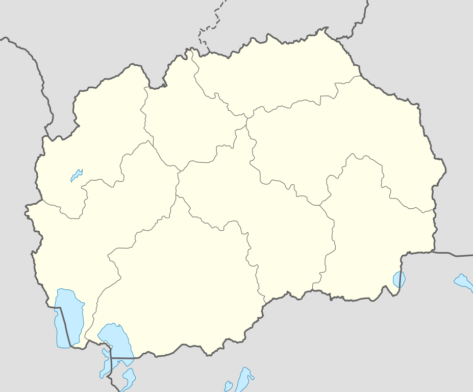
Deutsch: Positionskarte von Nordmazedonien
Quadratische Plattkarte, N-S-Streckung 133,43486 %. Geographische Begrenzung der Karte:
English: Location map of the North Macedonia
Equirectangular projection, N/S stretching 133.43486 %. Geographic limits of the map:
|
| Date | 03-08-2008 |
| Source |
own work, using
|
| Author | NordNordWest |
| Other versions |
|


|
This map has been made or improved in the German Kartenwerkstatt (Map Lab). You can propose maps to improve as well.
|
Licensing edit
I, the copyright holder of this work, hereby publish it under the following licenses:

|
Permission is granted to copy, distribute and/or modify this document under the terms of the GNU Free Documentation License, Version 1.2 or any later version published by the Free Software Foundation; with no Invariant Sections, no Front-Cover Texts, and no Back-Cover Texts. A copy of the license is included in the section entitled GNU Free Documentation License. |
This file is licensed under the Creative Commons Attribution-Share Alike 3.0 Unported license.
- You are free:
- to share – to copy, distribute and transmit the work
- to remix – to adapt the work
- Under the following conditions:
- attribution – You must give appropriate credit, provide a link to the license, and indicate if changes were made. You may do so in any reasonable manner, but not in any way that suggests the licensor endorses you or your use.
- share alike – If you remix, transform, or build upon the material, you must distribute your contributions under the same or compatible license as the original.
You may select the license of your choice.
File history
Click on a date/time to view the file as it appeared at that time.
| Date/Time | Thumbnail | Dimensions | User | Comment | |
|---|---|---|---|---|---|
| current | 10:01, 10 July 2010 | | 1,368 × 1,133 (139 KB) | NordNordWest (talk | contribs) | upd |
| 08:14, 29 August 2008 |  | 1,403 × 1,133 (165 KB) | NordNordWest (talk | contribs) | ||
| 10:42, 3 August 2008 |  | 468 × 378 (162 KB) | NordNordWest (talk | contribs) | {{Information |Description= {{de|Positionskarte von Mazedonien}} Quadratische Plattkarte, N-S-Streckung 130 %. Geographische Begrenzung der Karte: * N: 42.5° N * S: 40.7° N * W: 20.3° O * O: 23.2° O {{en|Location map of the [[:en:Re |
You cannot overwrite this file.
File usage on Commons
The following 52 pages use this file:
- User:NordNordWest/Gallery/Location maps
- File:Eastern in North Macedonia.svg
- File:Macedonia location map.svg (file redirect)
- User:NordNordWest/Gallery/Location maps
- File:Macedonia relief location map-light.jpg
- File:Eastern in North Macedonia.svg
- File:Northeastern in North Macedonia.svg
- File:Pelagonia in North Macedonia.svg
- File:Polog in North Macedonia.svg
- File:Skopje in North Macedonia.svg
- File:Southeastern in North Macedonia.svg
- File:Southwestern in North Macedonia.svg
- File:Vardar in North Macedonia.svg
- File:Macedonia relief Bistra location map.jpg
- File:Macedonia relief Galitchitsa location map.jpg
- File:Macedonia relief Jablenica location map.jpg
- File:Macedonia relief Korab location map.jpg
- File:Macedonia relief Kozuf location map.jpg
- File:Macedonia relief Malechevo location map.jpg
- File:Macedonia relief Ograjden location map.jpg
- File:Macedonia relief Platchkovitsa location map.jpg
- File:Macedonia relief Sar location map.jpg
- File:Macedonia relief Skopska Crna Gora location map.jpg
- File:Macedonia relief Souva Gora location map.jpg
- File:Macedonia relief Stogovo location map.jpg
- File:Macedonia relief Vlahina location map.jpg
- File:Macedonia relief Voras location map.jpg
- File:Macedonia relief Yakoupitsa location map.jpg
- File:Macedonia relief location map-light.jpg
- File:North Macedonia relief location map.jpg
- File:Northeastern in North Macedonia.svg
- File:Pelagonia in North Macedonia.svg
- File:Polog in North Macedonia.svg
- File:Skopje in North Macedonia.svg
- File:Southeastern in North Macedonia.svg
- File:Southwestern in North Macedonia.svg
- File:Vardar in North Macedonia.svg
File usage on other wikis
The following other wikis use this file:
- Usage on af.wikipedia.org
- Usage on als.wikipedia.org
- Usage on an.wikipedia.org
- Usage on ar.wikipedia.org
- Usage on ast.wikipedia.org
- Usage on az.wikipedia.org
- Skopye
- Kumanovo
- Bitola
- Daşkörpü (Skopye)
- Prilep
- Şablon:Yer xəritəsi Şimali Makedoniya
- Oxrid
- Resen (qəsəbə)
- Asamati (Resen)
- Radika çayı
- Müqəddəs Sofiya kilsəsi (Oxrid)
- Müqəddəs İohann kilsəsi (Kaneo)
- Müqəddəs İohann Biqorski monastırı
- Markov monastırı
- Qaliçnik
- Məğlubedilməzlərin məzarı
- Kriva Palanka
- Mustafa Paşa Məscidi
- Usage on ba.wikipedia.org
- Usage on be-tarask.wikipedia.org
View more global usage of this file.