File:Northern Pacific Railway map circa 1900 Western Washington.jpg
Size of this preview: 384 × 599 pixels. Other resolutions: 154 × 240 pixels | 307 × 480 pixels | 492 × 768 pixels | 1,039 × 1,621 pixels.
Original file (1,039 × 1,621 pixels, file size: 1.93 MB, MIME type: image/jpeg)
Captions
Captions
Add a one-line explanation of what this file represents
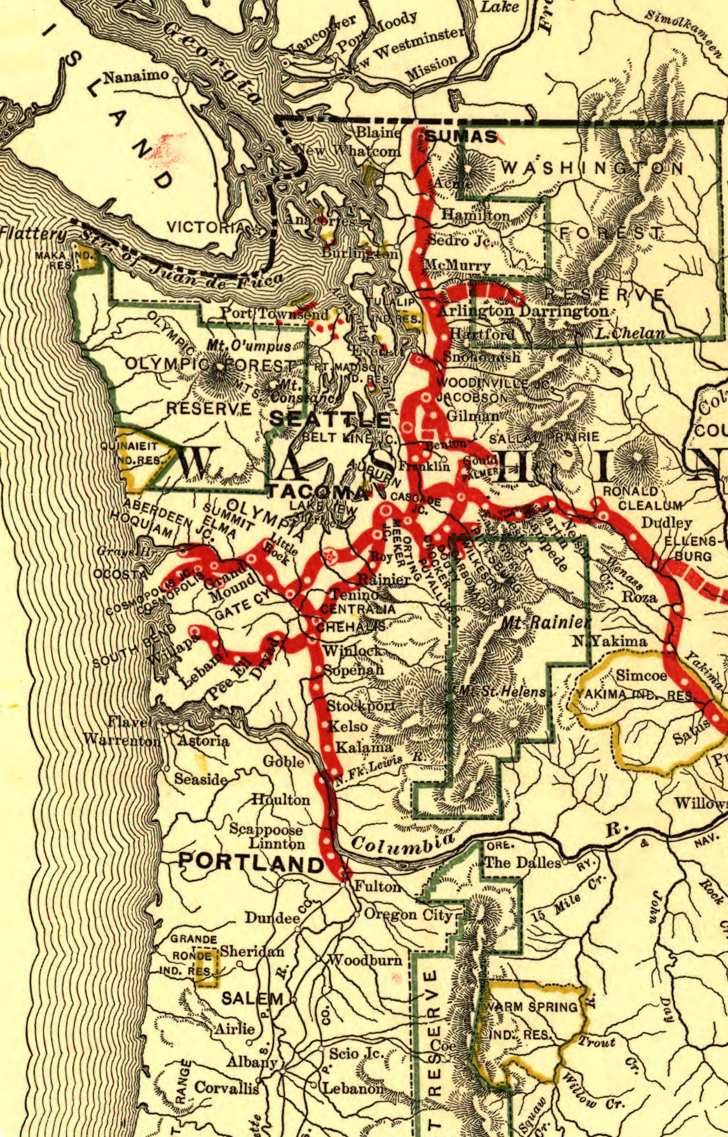
| Description | Map showing the Western Washington portions of the en:Northern Pacific Railway route circa 1900. |
| Date | (UTC) |
| Source | |
| Author |
Later version(s) were uploaded by Ian13 at en.wikipedia. Map created by L.L. Poates Engr'g Co., New York, 1900. Image from the Library of Congress map collection, call number G4126.P3 1900 .L55 RR 502. From Fourth Annual Report of the Northern Pacific Railway company, for the Fiscal Year ending June 30, 1900. Signed in ms: "W. Lowery." Reference: LC Railroad maps, 502. Scale not given. |
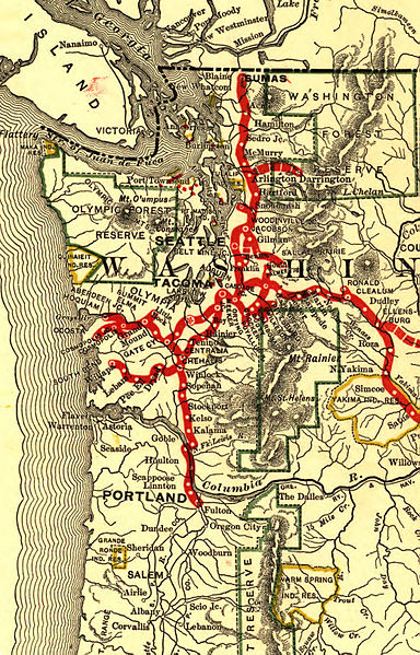
| This is a retouched picture, which means that it has been digitally altered from its original version. Modifications: cropped and rotated map. The original can be viewed here: Northern Pacific Railroad map circa 1900.jpg:
|
This media file is in the public domain in the United States. This applies to U.S. works where the copyright has expired, often because its first publication occurred prior to January 1, 1929, and if not then due to lack of notice or renewal. See this page for further explanation.
|
 | |
 |
This image might not be in the public domain outside of the United States; this especially applies in the countries and areas that do not apply the rule of the shorter term for US works, such as Canada, Mainland China (not Hong Kong or Macao), Germany, Mexico, and Switzerland. The creator and year of publication are essential information and must be provided. See Wikipedia:Public domain and Wikipedia:Copyrights for more details.
|
Original upload log edit
This image is a derivative work of the following images:
- File:Northern_Pacific_Railroad_map_circa_1900.jpg licensed with PD-US
- 2008-07-15T22:03:03Z Ian13 8850x3358 (9327163 Bytes) {{Information |Description={{en|Map showing the [[:en:Northern Pacific Railroad]] route circa 1900. Map created by L.L. Poates Engr'g Co., New York, 1900. Image from the Library of Congress map collection, call number G4126.
Uploaded with derivativeFX
File history
Click on a date/time to view the file as it appeared at that time.
| Date/Time | Thumbnail | Dimensions | User | Comment | |
|---|---|---|---|---|---|
| current | 22:02, 6 March 2011 | | 1,039 × 1,621 (1.93 MB) | Ltvine (talk | contribs) | {{Information |Description=Map showing the Western Washington portions of the en:Northern Pacific Railway route circa 1900. |Source=*File:Northern_Pacific_Railroad_map_circa_1900.jpg |Date=2011-03-06 21:55 (UTC) |Author=*[[:File:Northern_Pacifi |
You cannot overwrite this file.
File usage on Commons
There are no pages that use this file.
File usage on other wikis
The following other wikis use this file:
- Usage on en.wikipedia.org