File:Norway municipalities 2010 blank.svg

Size of this PNG preview of this SVG file: 423 × 599 pixels. Other resolutions: 169 × 240 pixels | 339 × 480 pixels | 542 × 768 pixels | 723 × 1,024 pixels | 1,447 × 2,048 pixels | 2,105 × 2,980 pixels.
Original file (SVG file, nominally 2,105 × 2,980 pixels, file size: 1.88 MB)
Captions
Captions
Add a one-line explanation of what this file represents
| Description |
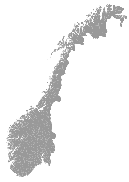
English: A blank map of the municipalities of Norway (2010). Made with QGIS and Inkscape from the following data sources: Coastline from VMAP0 (PD). Administrative boundaries from OpenStreetMap (CC-BY-SA-2.0).
Norsk bokmål: Et blankt kart over Norges kommuner (2010). Laget med QGIS og Inkscape fra følgende datakilder: Kystlinje fra VMAP0 (PD). Kommunegrenser fra OpenStreetMap (CC-BY-SA-2.0).
Hver kommune har ISO 3166-2:NO-koden i id-feltet. |
| Date | |
| Source | Own work |
| Author | Kåre-Olav |
| Other versions | Derivative works of this file: Norway municipalities 2012 blank.svg |
This W3C-unspecified vector image was created with Inkscape .
This file is licensed under the Creative Commons Attribution-Share Alike 2.0 Generic license.
- You are free:
- to share – to copy, distribute and transmit the work
- to remix – to adapt the work
- Under the following conditions:
- attribution – You must give appropriate credit, provide a link to the license, and indicate if changes were made. You may do so in any reasonable manner, but not in any way that suggests the licensor endorses you or your use.
- share alike – If you remix, transform, or build upon the material, you must distribute your contributions under the same or compatible license as the original.
File history
Click on a date/time to view the file as it appeared at that time.
| Date/Time | Thumbnail | Dimensions | User | Comment | |
|---|---|---|---|---|---|
| current | 21:16, 13 January 2011 | | 2,105 × 2,980 (1.88 MB) | Røed (talk | contribs) | Småplukk, var noen navn som var ført opp dobbelt på bekostning av andre |
| 15:20, 13 January 2011 |  | 2,105 × 2,980 (1.88 MB) | Røed (talk | contribs) | La inn fylkesnavn i parantes på kommuner som har samme navn. | |
| 00:56, 12 January 2011 |  | 2,105 × 2,980 (1.88 MB) | Røed (talk | contribs) | Some names missed and rearranged the IDs so that they are sorted by number, also removed some unused code. | |
| 22:22, 11 January 2011 |  | 2,105 × 2,980 (1.9 MB) | Kåre-Olav (talk | contribs) | Added names. | |
| 21:55, 3 March 2010 |  | 2,105 × 2,980 (1.87 MB) | Kåre-Olav (talk | contribs) | {{Information |Description={{en|1=A blank map of the municipalities of Norway (2010). Made with QGIS and Inkscape from the following data sources: Coastline from VMAP0 (PD). Administrative boundaries from [http://www. |
You cannot overwrite this file.
File usage on Commons
There are no pages that use this file.
File usage on other wikis
The following other wikis use this file:
- Usage on no.wikipedia.org