File:Nutwood Place.jpg

Size of this preview: 800 × 600 pixels. Other resolutions: 320 × 240 pixels | 640 × 480 pixels | 1,024 × 768 pixels | 1,280 × 960 pixels | 2,560 × 1,920 pixels | 2,816 × 2,112 pixels.
Original file (2,816 × 2,112 pixels, file size: 3.19 MB, MIME type: image/jpeg)
Captions
Captions
Add a one-line explanation of what this file represents
|
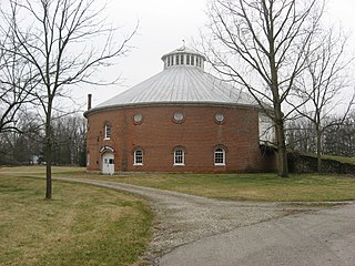
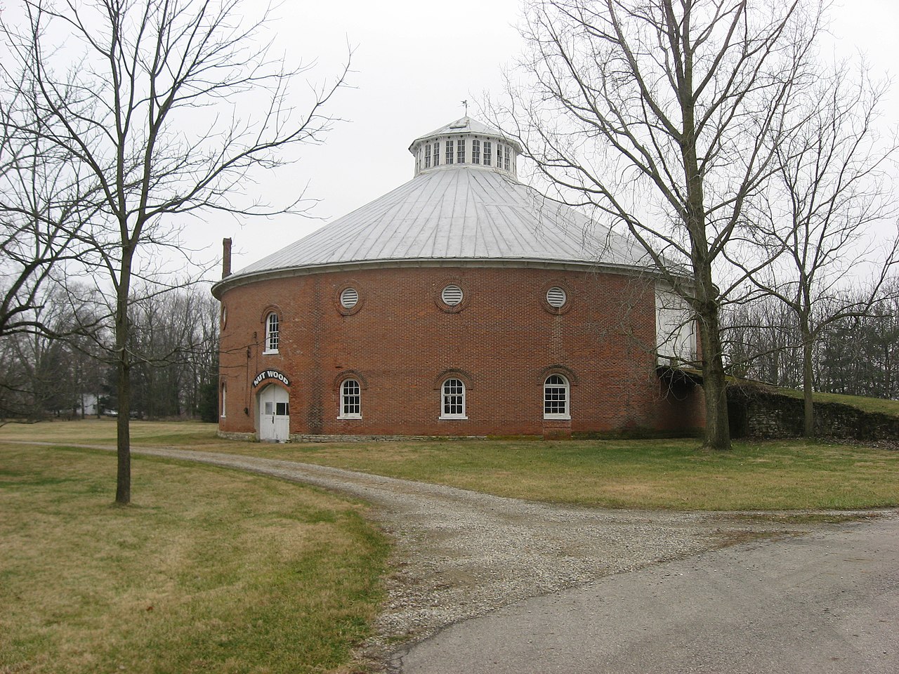
This is an image of a place or building that is listed on the National Register of Historic Places in the United States of America. Its reference number is 76002265. |
| Camera location | | View this and other nearby images on: OpenStreetMap |
|---|
| Description |
English: Round barn, built in 1861, on the grounds of Nutwood Place, a former farm located off N. Main Street (U.S. Route 68) on the northern edge of Urbana, Ohio, United States. Dimly visible through the trees on the left side of the picture is the white former farmhouse, built in 1815. The farm is listed on the National Register of Historic Places. |
||
| Date | Taken on 15 December 2009 | ||
| Source | Own work | ||
| Author | Nyttend | ||
| Permission (Reusing this file) |
|
File history
Click on a date/time to view the file as it appeared at that time.
| Date/Time | Thumbnail | Dimensions | User | Comment | |
|---|---|---|---|---|---|
| current | 01:00, 16 December 2009 | | 2,816 × 2,112 (3.19 MB) | Nyttend (talk | contribs) | {{Location|40|7|41|N|83|45|8|W}} {{Information |Description={{en|Round barn, built in 1861, on the grounds of {{w|Nutwood Place}}, a former farm located off N. Main Street ({{w|U.S. Route 68}}) on the northern edge of {{w|Urbana, Ohio|Urbana}}, {{w|Ohio}} |
You cannot overwrite this file.
File usage on Commons
There are no pages that use this file.
File usage on other wikis
The following other wikis use this file:
- Usage on en.wikipedia.org
- Usage on www.wikidata.org