File:Nyomvonal 2.jpg

Size of this preview: 800 × 600 pixels. Other resolutions: 320 × 240 pixels | 640 × 480 pixels | 1,024 × 768 pixels | 1,280 × 960 pixels | 2,560 × 1,920 pixels | 3,136 × 2,352 pixels.
Original file (3,136 × 2,352 pixels, file size: 2.33 MB, MIME type: image/jpeg)
Captions
Captions
Add a one-line explanation of what this file represents
Summary edit
| Description |
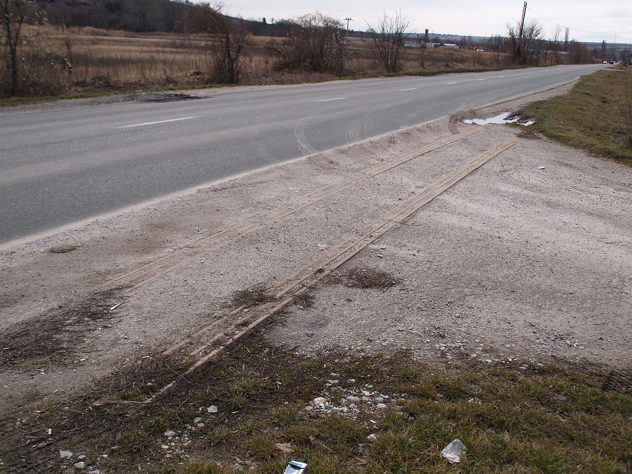
Magyar: A Felsőtárkányi Állami Erdei Vasút Eger-Felsőtárkány közti vonalmaradványa, Felnémet |
| Date | |
| Source | Transferred from hu.wikipedia to Commons. |
| Author | Birincsik József (IJoe at Hungarian Wikipedia) |
| Camera location | | View this and other nearby images on: OpenStreetMap |
|---|
Licensing edit
| This work has been released into the public domain by its author, IJoe at Hungarian Wikipedia. This applies worldwide. In some countries this may not be legally possible; if so: IJoe at Hungarian Wikipedia grants anyone the right to use this work for any purpose, without any conditions, unless such conditions are required by law. |
Original upload log edit
The original description page was here. All following user names refer to hu.wikipedia.
| Date/Time | Dimensions | User | Comment |
|---|---|---|---|
| 2009-03-11 17:28 | 3136×2352× (2438792 bytes) | IJoe | {{Információ | leírás = A Felsőtárkányi Állami Erdei Vasút Eger-Felsőtárkány közti vonalmaradványa | forrás = saját kép | dátum = 2009. 03. 08. | helyszín = Eger | szerző = Birincsik József | eng |
File history
Click on a date/time to view the file as it appeared at that time.
| Date/Time | Thumbnail | Dimensions | User | Comment | |
|---|---|---|---|---|---|
| current | 23:54, 22 August 2014 | | 3,136 × 2,352 (2.33 MB) | Regasterios (talk | contribs) | Transferred from hu.wikipedia |
You cannot overwrite this file.
File usage on Commons
There are no pages that use this file.
File usage on other wikis
The following other wikis use this file:
- Usage on hu.wikipedia.org