File:Oder004CRW.jpg

Size of this preview: 800 × 414 pixels. Other resolutions: 320 × 166 pixels | 640 × 331 pixels | 1,024 × 530 pixels | 1,280 × 662 pixels | 2,560 × 1,324 pixels | 6,000 × 3,104 pixels.
Original file (6,000 × 3,104 pixels, file size: 13.99 MB, MIME type: image/jpeg)
Captions
Captions
Add a one-line explanation of what this file represents
Summary edit
| Description |
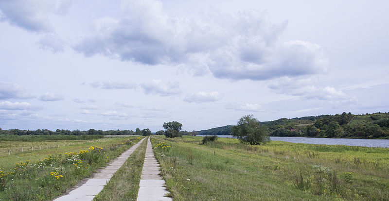
Deutsch: Aueweg bei Criewen/Schwedt, ein Wanderweg durch die Oderpolder zum eigentlichen Fluss Oder English: Hikingtrail through the floodplains of river Oder to the mainriver at the german/polish border |
| Date | |
| Source | Own work |
| Author | Dieter Hering |
| Camera location | | View this and other nearby images on: OpenStreetMap |
|---|
Licensing edit
This file is licensed under the Creative Commons Attribution-Share Alike 3.0 Unported license.
- You are free:
- to share – to copy, distribute and transmit the work
- to remix – to adapt the work
- Under the following conditions:
- attribution – You must give appropriate credit, provide a link to the license, and indicate if changes were made. You may do so in any reasonable manner, but not in any way that suggests the licensor endorses you or your use.
- share alike – If you remix, transform, or build upon the material, you must distribute your contributions under the same or compatible license as the original.
File history
Click on a date/time to view the file as it appeared at that time.
| Date/Time | Thumbnail | Dimensions | User | Comment | |
|---|---|---|---|---|---|
| current | 15:59, 7 September 2014 | | 6,000 × 3,104 (13.99 MB) | Bytfisch (talk | contribs) | User created page with UploadWizard |
You cannot overwrite this file.
File usage on Commons
The following page uses this file:
File usage on other wikis
The following other wikis use this file:
- Usage on de.wikipedia.org
- Usage on en.wikipedia.org