File:Oman routes map.png
Size of this preview: 460 × 599 pixels. Other resolutions: 184 × 240 pixels | 600 × 781 pixels.
Original file (600 × 781 pixels, file size: 67 KB, MIME type: image/png)
Captions
Captions
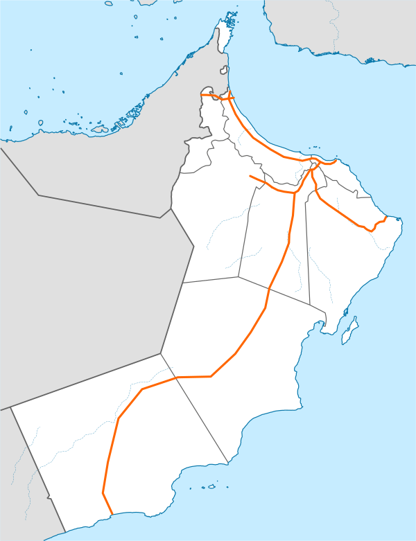
All of the routes in Oman shaded in orange
Summary edit
| Description |
English: All of the routes in Oman shaded in orange. |
| Date | |
| Source | https://www.wegenwiki.nl/Bestand:Oman_expressway_map.png |
| Author | Chris |
This was created using Inkscape.
Licensing edit
This file is licensed under the Creative Commons Attribution 3.0 Unported license.
- You are free:
- to share – to copy, distribute and transmit the work
- to remix – to adapt the work
- Under the following conditions:
- attribution – You must give appropriate credit, provide a link to the license, and indicate if changes were made. You may do so in any reasonable manner, but not in any way that suggests the licensor endorses you or your use.
File history
Click on a date/time to view the file as it appeared at that time.
| Date/Time | Thumbnail | Dimensions | User | Comment | |
|---|---|---|---|---|---|
| current | 06:23, 14 October 2023 | | 600 × 781 (67 KB) | Editor Socks (talk | contribs) | Uploaded a work by Chris from https://www.wegenwiki.nl/Bestand:Oman_expressway_map.png with UploadWizard |
You cannot overwrite this file.
File usage on Commons
The following 2 pages use this file:
File usage on other wikis
The following other wikis use this file:
- Usage on en.wikipedia.org