File:OmemeeND.png

Size of this preview: 800 × 564 pixels. Other resolutions: 320 × 225 pixels | 640 × 451 pixels | 965 × 680 pixels.
Original file (965 × 680 pixels, file size: 77 KB, MIME type: image/png)
Captions
Captions
Add a one-line explanation of what this file represents
Summary edit
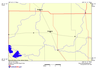
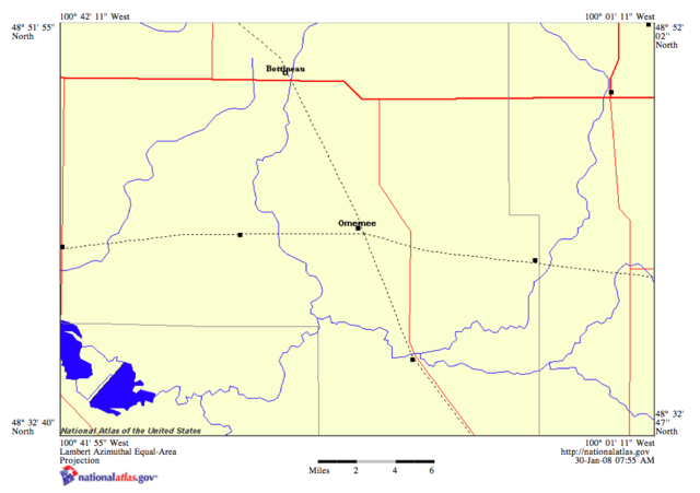
| Description | Map showing Omemee, North Dakota |
| Date | |
| Source | United States Geological Survey |
| Author | nationalatlas.gov |
Licensing edit
This image is in the public domain in the United States because it only contains materials that originally came from the United States Geological Survey, an agency of the United States Department of the Interior. For more information, see the official USGS copyright policy.
|
File history
Click on a date/time to view the file as it appeared at that time.
| Date/Time | Thumbnail | Dimensions | User | Comment | |
|---|---|---|---|---|---|
| current | 13:20, 30 January 2008 | | 965 × 680 (77 KB) | R. A. Hicks~commonswiki (talk | contribs) | {{Information |Description=Map showing Omemee, North Dakota |Source=United States Geological Survey |Date=2008-01-30 |Author= |Permission= |other_versions= }} |
You cannot overwrite this file.
File usage on Commons
There are no pages that use this file.
File usage on other wikis
The following other wikis use this file:
- Usage on en.wikipedia.org