File:Outline Map of Vologda Oblast.svg

Size of this PNG preview of this SVG file: 800 × 457 pixels. Other resolutions: 320 × 183 pixels | 640 × 365 pixels | 1,024 × 585 pixels | 1,280 × 731 pixels | 2,560 × 1,462 pixels | 1,000 × 571 pixels.
Original file (SVG file, nominally 1,000 × 571 pixels, file size: 97 KB)
Captions
Captions
Add a one-line explanation of what this file represents
Summary edit
| Description |
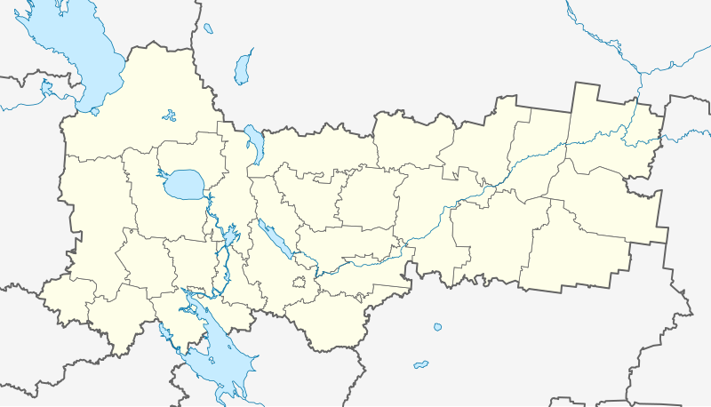
Русский: Позиционная карта Вологодской области Равноугольная проекция. Координаты краёв:
|
| Date | |
| Source |
Own work This W3C-unspecified vector image was created with Inkscape . |
| Author | Виктор В |
| Other versions |
Derivative works of this file: Wologda numbered.png
|


Licensing edit
| I, the copyright holder of this work, release this work into the public domain. This applies worldwide. In some countries this may not be legally possible; if so: I grant anyone the right to use this work for any purpose, without any conditions, unless such conditions are required by law. |
File history
Click on a date/time to view the file as it appeared at that time.
| Date/Time | Thumbnail | Dimensions | User | Comment | |
|---|---|---|---|---|---|
| current | 16:16, 6 August 2010 | | 1,000 × 571 (97 KB) | Виктор В (talk | contribs) | толщина линий |
| 05:13, 25 July 2010 |  | 1,000 × 571 (101 KB) | Виктор В (talk | contribs) | == {{int:filedesc}} == {{Information |Description={{ru|1=Позиционная карта Вологодской области<br\>Равноугольная проекция. Координаты краёв: * север — 62.0° С * юг — 58.0° |
You cannot overwrite this file.
File usage on Commons
The following 2 pages use this file:
File usage on other wikis
The following other wikis use this file:
- Usage on af.wikipedia.org
- Usage on ar.wikipedia.org
- Usage on azb.wikipedia.org
- اقوری، روسیه
- انرجتیک، وولوقدا اوبلاستی
- اوباکینو
- اوبرادووو، وولوقدا اوبلاستی
- اوبرازتسووو
- اوبرازتسووو، وولوقدا اوبلاستی
- اوبروزووو، وولوقدا اوبلاستی
- اوبروشینو
- اوبریخا، روسیه
- اوبساکووو
- اوبنورزکایا سلوبودا
- اوبوخووو، وولوقدا اوبلاستی
- اوپالیپسووو
- اوپالیخی
- اوپوچکووو
- اوپیخالینو
- اوپیرالووو
- اوپئیلوو
- اوترادنوی، وولوقدا اوبلاستی
- زاقوری، وولوقدا اوبلاستی
- اوتکلئیوو
- اوتکینو، روسیه
- اوتکینو، وولوقدا اوبلاستی
- زاکازاری
- زاکریشکینو
- زاکوبیایکینو
- زاکورزکوی
- زاکوزتیمی
- زالومایخا
- اوجیبالووو، وولوقدا اوبلاستی
- زاموزتوویتسا
- زاموشی، وولوقدا اوبلاستی
- زانینو، وولوقدا اوبلاستی
- زاواچوق، روسیه
- اوختوما، روسیه
- زاواریخا
- اوخلوپکووو، وولوقدا اوبلاستی
- اوخلیویوو
- زاوراژی، وولوقدا اوبلاستی
- زاوراق، روسیه
- زاوود، وولوقدا اوبلاستی
- اوداچینو
- اودالتسووسکایا
- زایاتسکوی
- زایامژا، روسیه
View more global usage of this file.