File:P-AD20061124-10h13m36s-f.jpg

Size of this preview: 450 × 600 pixels. Other resolutions: 180 × 240 pixels | 360 × 480 pixels | 576 × 768 pixels | 1,200 × 1,600 pixels.
Original file (1,200 × 1,600 pixels, file size: 320 KB, MIME type: image/jpeg)
Captions
Captions
Add a one-line explanation of what this file represents
Summary
edit
| Camera location | | View this and other nearby images on: OpenStreetMap |
|---|
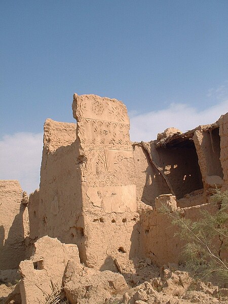
| Description | Archeological site of Sadus (300 yrs old), North-West of Riyadh, Saudi Arabia, location (24.993917,46.207492)+810m |
| Date | |
| Source | Own work |
| Author | Baptiste Marcel |
Licensing
edit
| I, the copyright holder of this work, release this work into the public domain. This applies worldwide. In some countries this may not be legally possible; if so: I grant anyone the right to use this work for any purpose, without any conditions, unless such conditions are required by law. |
File history
Click on a date/time to view the file as it appeared at that time.
| Date/Time | Thumbnail | Dimensions | User | Comment | |
|---|---|---|---|---|---|
| current | 20:34, 28 November 2006 | | 1,200 × 1,600 (320 KB) | Dunwich (talk | contribs) | {{Information |Description=Archeological site of Sadus (300 yrs old), North-West of Riyadh, Saudi Arabia, location (24.993917,46.207492)+810m |Source=own work |Date=24/11/2006 |Author=Baptiste Marcel |Permission=- |other_versions=- }} |
You cannot overwrite this file.
File usage on Commons
The following page uses this file:
File usage on other wikis
The following other wikis use this file:
- Usage on de.wikivoyage.org
- Usage on hu.wikipedia.org