File:POL Kąty Wrocławskie COA.svg

Size of this PNG preview of this SVG file: 500 × 599 pixels. Other resolutions: 200 × 240 pixels | 401 × 480 pixels | 641 × 768 pixels | 855 × 1,024 pixels | 1,710 × 2,048 pixels | 546 × 654 pixels.
Original file (SVG file, nominally 546 × 654 pixels, file size: 54 KB)
Captions
Captions
Add a one-line explanation of what this file represents
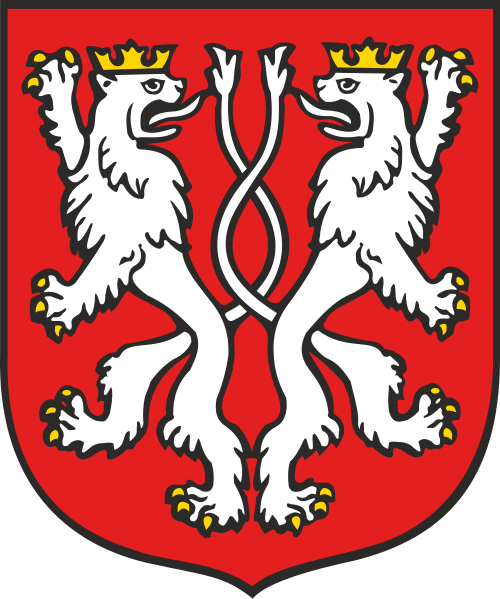
Polski: Herb Kąty Wrocławskie
This image is in the public domain according to Article 4, case 2 of the Polish Copyright Law Act of February 4, 1994 (Dz. U. z 2022 r. poz. 2509 with later changes) "normative acts and drafts thereof as well as official documents, materials, signs and symbols are not subject to copyrights". Hence it is assumed that this image has been released into public domain. However in some instances the use of this image in Poland might be regulated by other laws.
|
 |
File history
Click on a date/time to view the file as it appeared at that time.
| Date/Time | Thumbnail | Dimensions | User | Comment | |
|---|---|---|---|---|---|
| current | 17:43, 17 February 2022 | | 546 × 654 (54 KB) | Lilbitmessy (talk | contribs) | tweak colours to RGB specified in Uchwała nr XLV/585/18 Rady Miejskiej w Kątach Wrocławskich z dnia 25 września 2018 r. w sprawie Statutu Gminy Kąty Wrocławskie available online |
| 11:39, 8 June 2006 |  | 546 × 654 (53 KB) | Poznaniak (talk | contribs) | '''pl:''' Herb Kąty Wrocławskie {{Polishsymbol}} Category:Coats of arms of Polish cities and villages |
You cannot overwrite this file.
File usage on Commons
The following 4 pages use this file:
File usage on other wikis
The following other wikis use this file:
- Usage on ang.wikipedia.org
- Usage on be.wikipedia.org
- Usage on ce.wikipedia.org
- Usage on cs.wikipedia.org
- Usage on da.wikipedia.org
- Usage on de.wikipedia.org
- Usage on en.wikipedia.org
- Kąty Wrocławskie
- Armorial of Poland
- Gmina Kąty Wrocławskie
- Template:Gmina Kąty Wrocławskie
- Baranowice, Wrocław County
- Bliż
- Bogdaszowice
- Cesarzowice, Wrocław County
- Czerńczyce, Wrocław County
- Gądów
- Gniechowice
- Górzyce
- Jaszkotle
- Kamionna, Lower Silesian Voivodeship
- Kębłowice, Lower Silesian Voivodeship
- Kilianów
- Kozłów, Wrocław County
- Krobielowice
- Krzeptów
- Małkowice, Lower Silesian Voivodeship
- Mokronos Dolny
- Mokronos Górny
- Nowa Wieś Kącka
- Nowa Wieś Wrocławska
- Pełcznica, Lower Silesian Voivodeship
- Pietrzykowice, Gmina Kąty Wrocławskie
- Romnów
- Różaniec, Lower Silesian Voivodeship
- Rybnica, Wrocław County
- Sadków, Wrocław County
- Sadkówek
- Sadowice, Wrocław County
- Samotwór
- Skałka, Lower Silesian Voivodeship
- Smolec
- Sokolniki, Wrocław County
- Sośnica, Lower Silesian Voivodeship
- Stary Dwór, Wrocław County
- Stoszyce
- Stradów, Lower Silesian Voivodeship
- Strzeganowice
View more global usage of this file.