File:País Vasco-loc.svg

Size of this PNG preview of this SVG file: 512 × 401 pixels. Other resolutions: 307 × 240 pixels | 613 × 480 pixels | 981 × 768 pixels | 1,280 × 1,003 pixels | 2,560 × 2,005 pixels.
Original file (SVG file, nominally 512 × 401 pixels, file size: 315 KB)
Captions
Captions
Add a one-line explanation of what this file represents
Summary edit
| Description |
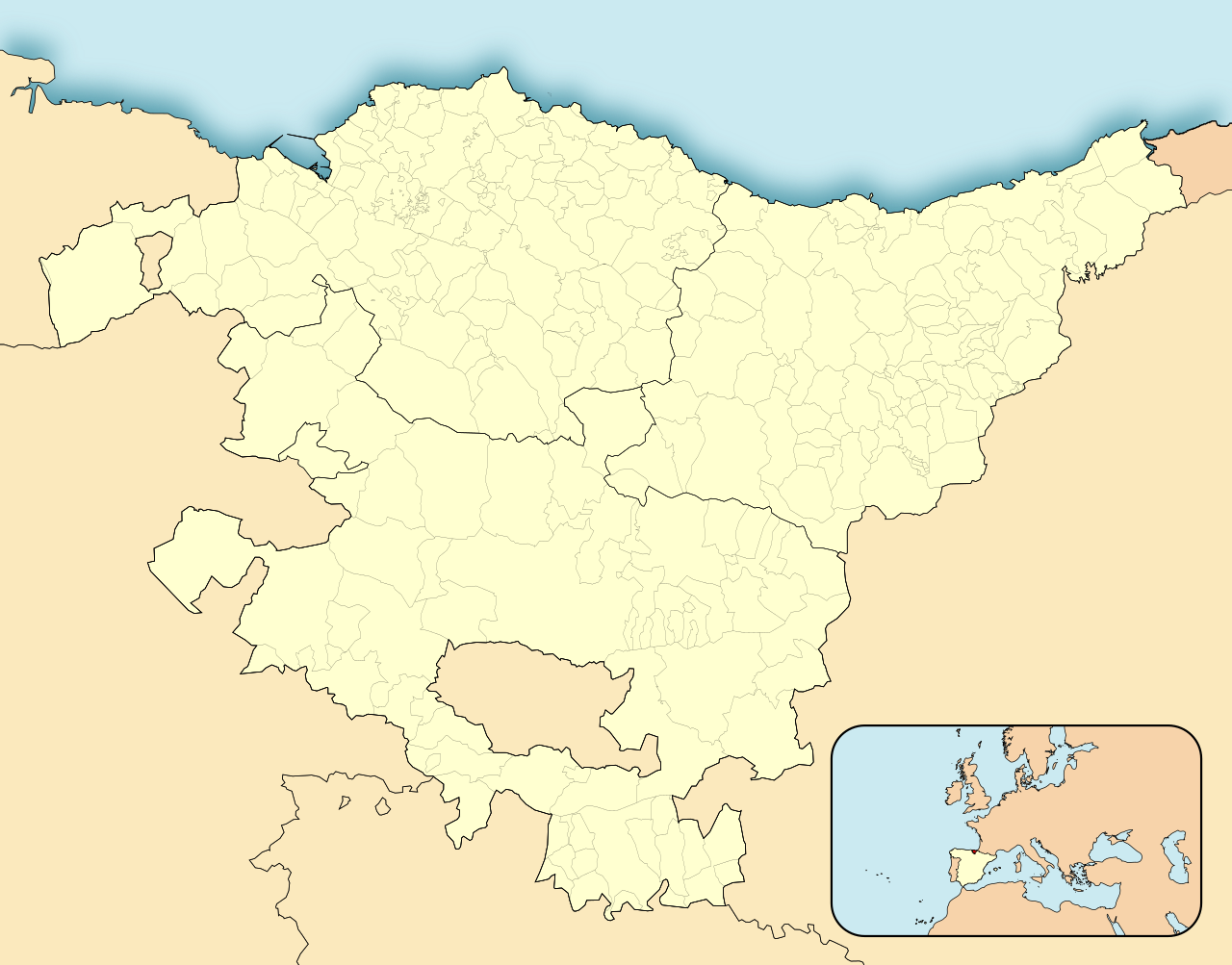
English: Location map of Pays Basque (Spain)
Equirectangular projection, N/S stretching 130 %. Geographic limits of the map:
Español: Mapa de localización de la comunidad autónoma del País Vasco (España)
Proyección equirrectangular, N/S estirada 130 %. Límites geográficos del mapa:
|
|
| Date | ||
| Source | Own work based on: EspañaLoc.svg by HansenBCN | |
| Author | Miguillen | |
| Other versions | Derivative works of this file: Basque Country location map.svg | |
| SVG development | This locator map was created with Inkscape.
|
Licensing edit
Miguillen, the copyright holder of this work, hereby publishes it under the following license:
This file is licensed under the Creative Commons Attribution-Share Alike 3.0 Unported license.
Attribution: Miguillen
- You are free:
- to share – to copy, distribute and transmit the work
- to remix – to adapt the work
- Under the following conditions:
- attribution – You must give appropriate credit, provide a link to the license, and indicate if changes were made. You may do so in any reasonable manner, but not in any way that suggests the licensor endorses you or your use.
- share alike – If you remix, transform, or build upon the material, you must distribute your contributions under the same or compatible license as the original.
File history
Click on a date/time to view the file as it appeared at that time.
| Date/Time | Thumbnail | Dimensions | User | Comment | |
|---|---|---|---|---|---|
| current | 14:59, 4 November 2023 | | 512 × 401 (315 KB) | Lojwe (talk | contribs) | Removing frame |
| 12:52, 29 August 2010 |  | 512 × 401 (316 KB) | Miguillen (talk | contribs) | líneas de límites provinciales a 1.5 px | |
| 11:10, 28 August 2010 |  | 512 × 401 (316 KB) | Kordas (talk | contribs) | fixing Orduña | |
| 23:00, 14 May 2010 |  | 512 × 401 (316 KB) | Miguillen (talk | contribs) | == {{int:filedesc}} == {{Information |Description= {{en|Location map of Pays Basque}} Equirectangular projection, N/S stretching 130 %. Geographic limits of the map: * N: 43.5625° N * S: 42.375° N * W: 3.5° O * E: 1.6875° O |
You cannot overwrite this file.
File usage on Commons
The following page uses this file:
File usage on other wikis
The following other wikis use this file:
- Usage on an.wikipedia.org
- Bilbau
- Laguardia
- Getxo
- Elciego
- Elvillar
- Leza
- Vitoria
- Sant Sabastián
- Barakaldo
- Irún
- Arratzu
- Labastida
- Navaridas
- Baños de Ebro
- Samaniego
- Yécora
- Villabuena de Álava
- Moreda de Álava
- Lanciego
- Oyón-Oion
- Fontarrabia
- Pasaia
- Lezon
- Oyarzun
- La Rentería
- Lapuebla de Labarca
- Kripán
- Andoain
- Astigarraga
- Hernani
- Lasarte-Oria
- Urnieta
- Usurbil
- Abaltzisketa
- Aduna
- Albiztur
- Alegia
- Alkiza
- Altzo
- Villabona-Amasa
- Amezqueta
- Anoeta
- Asteasu
- Baliarrain
- Belauntza
- Berastegi
- Berrobi
- Bidegoian
- Elduain
- Gaztelu (Guipuzcua)
View more global usage of this file.