File:Pagny-le-Château 2013 04 07 04 IR.jpg

Size of this preview: 800 × 531 pixels. Other resolutions: 320 × 212 pixels | 640 × 425 pixels | 1,024 × 680 pixels | 1,280 × 850 pixels | 2,999 × 1,991 pixels.
Original file (2,999 × 1,991 pixels, file size: 3.73 MB, MIME type: image/jpeg)
Captions
Captions
Add a one-line explanation of what this file represents
Summary edit
| Description |
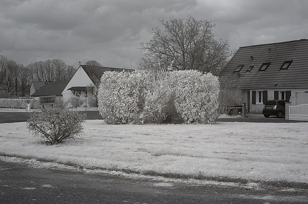
Français : Route de Montagny-lès-Seurre, Pagny-le-Château (Côte d'Or, Bourgogne, France) photographié avec un filtre infrarouge 760 nm.
Català: Carretera de Montagny-lès-Seurre, Pagny-le-Château (Costa d'Or, Borgonya, França) fotografiada amb un filtre infraroig 760 nm.
Español: Carretera de Montagny-lès-Seurre, Pagny-le-Château (Côte d'Or, Borgoña, Francia) fotografiada con un filtro infrarrojo 760 nm. |
| Date | |
| Source | Own work |
| Author |
Bertrand GRONDIN |
| Camera location | | View this and other nearby images on: OpenStreetMap |
|---|
| Object location | | View this and other nearby images on: OpenStreetMap |
|---|
Licensing edit
I, the copyright holder of this work, hereby publish it under the following licenses:

|
Permission is granted to copy, distribute and/or modify this document under the terms of the GNU Free Documentation License, Version 1.2 or any later version published by the Free Software Foundation; with no Invariant Sections, no Front-Cover Texts, and no Back-Cover Texts. A copy of the license is included in the section entitled GNU Free Documentation License. |
This file is licensed under the Creative Commons Attribution-Share Alike 3.0 Unported, 2.5 Generic, 2.0 Generic and 1.0 Generic license.
- You are free:
- to share – to copy, distribute and transmit the work
- to remix – to adapt the work
- Under the following conditions:
- attribution – You must give appropriate credit, provide a link to the license, and indicate if changes were made. You may do so in any reasonable manner, but not in any way that suggests the licensor endorses you or your use.
- share alike – If you remix, transform, or build upon the material, you must distribute your contributions under the same or compatible license as the original.
You may select the license of your choice.
File history
Click on a date/time to view the file as it appeared at that time.
| Date/Time | Thumbnail | Dimensions | User | Comment | |
|---|---|---|---|---|---|
| current | 14:45, 17 April 2013 | | 2,999 × 1,991 (3.73 MB) | Grondin (talk | contribs) | Remove dust spots. |
| 18:57, 8 April 2013 |  | 2,999 × 1,991 (3.73 MB) | Grondin (talk | contribs) | {{Information |Description ={{fr|1=Route de Montagny-lès-Seurre, Pagny-le-Château (Côte d'Or, Bourgogne, France) photographié avec un filtre infrarouge 760 nm.}} {{ca|1=Carretera de Montagny-lès-Seurre, Pagny-le-Château (Costa d'Or, Borgonya, ... |
You cannot overwrite this file.
File usage on Commons
The following 2 pages use this file: