File:Pahang Electoral District.svg

Size of this PNG preview of this SVG file: 600 × 533 pixels. Other resolutions: 270 × 240 pixels | 540 × 480 pixels | 865 × 768 pixels | 1,153 × 1,024 pixels | 2,306 × 2,048 pixels.
Original file (SVG file, nominally 600 × 533 pixels, file size: 389 KB)
Captions
Captions
Add a one-line explanation of what this file represents
Summary edit
| Description |
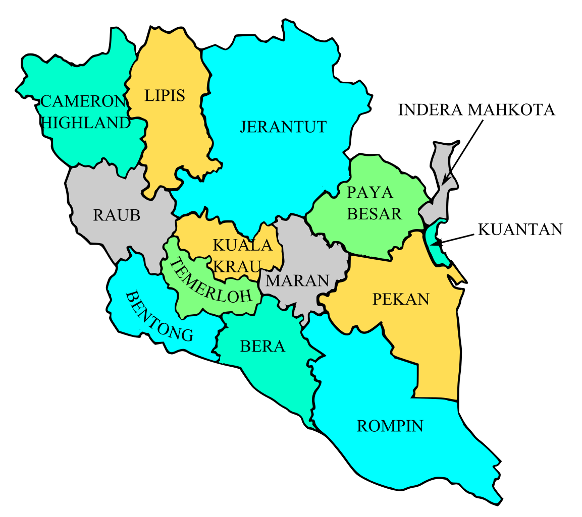
English: Map of district in Pahang's state, Bahasa Melayu: Peta daerah dalam negeri Pahang, |
| Date | |
| Source | Own work |
| Author | khalidrizuan91 |
Licensing edit
| I, the copyright holder of this work, release this work into the public domain. This applies worldwide. In some countries this may not be legally possible; if so: I grant anyone the right to use this work for any purpose, without any conditions, unless such conditions are required by law. |
| Annotations | This image is annotated: View the annotations at Commons |
File history
Click on a date/time to view the file as it appeared at that time.
| Date/Time | Thumbnail | Dimensions | User | Comment | |
|---|---|---|---|---|---|
| current | 06:35, 12 March 2008 | | 600 × 533 (389 KB) | Tebu.an (talk | contribs) | |
| 05:19, 11 March 2008 |  | 600 × 533 (389 KB) | Tebu.an (talk | contribs) | ||
| 04:36, 11 March 2008 |  | 600 × 500 (385 KB) | Tebu.an (talk | contribs) | ||
| 04:28, 11 March 2008 |  | 860 × 700 (358 KB) | Tebu.an (talk | contribs) | {{Information |Description={{en|Map of district in Pahang's state, {{flagicon|Malaysia}} Malaysia.}}{{ms|Peta daerah dalam negeri Pahang, {{flagicon|Malaysia}} Malaysia.}} |Source=self-made |Date=11 March 2008 |Author= Tebu.an |Permission |
You cannot overwrite this file.
File usage on Commons
The following page uses this file:
- File:PahangDistrict.svg (file redirect)
File usage on other wikis
The following other wikis use this file: