File:Palazzo Priuli Ruzzini (Venice).jpg

Size of this preview: 800 × 534 pixels. Other resolutions: 320 × 214 pixels | 640 × 427 pixels | 1,024 × 683 pixels | 1,280 × 854 pixels | 2,560 × 1,709 pixels | 7,360 × 4,912 pixels.
Original file (7,360 × 4,912 pixels, file size: 21.75 MB, MIME type: image/jpeg)
Captions
Captions
Add a one-line explanation of what this file represents
Summary edit
|
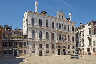
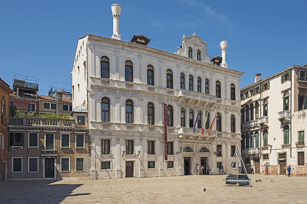
Palazzo Priuli Ruzzini Loredan, Venice – Facade | ||||||||||||||||||||||||||||||
|
| ||||||||||||||||||||||||||||||

.jpg&action=edit§ion=1)
.jpg)
.jpg¶ms=045.437786_N_0012.340577_E_globe:Earth_class:object_type:object_region:IT_&language=en)
File history
Click on a date/time to view the file as it appeared at that time.
| Date/Time | Thumbnail | Dimensions | User | Comment | |
|---|---|---|---|---|---|
| current | 07:12, 20 December 2014 | | 7,360 × 4,912 (21.75 MB) | Archaeodontosaurus (talk | contribs) | {{Information |Description ={{en|1=c}} |Source ={{own}} |Author =Archaeodontosaurus |Date = |Permission = |other_versions = }} |
You cannot overwrite this file.
File usage on Commons
The following 6 pages use this file:
.jpg)
File usage on other wikis
The following other wikis use this file:
- Usage on bg.wikipedia.org
- Usage on de.wikipedia.org
- Usage on en.wikipedia.org
- Usage on fr.wikipedia.org
- Usage on hr.wikipedia.org
- Usage on it.wikipedia.org
- Usage on ko.wikipedia.org
- Usage on ro.wikipedia.org
- Usage on sh.wikipedia.org
- Usage on www.wikidata.org
- Usage on zh.wikipedia.org
.jpg&oldid=583003570)