File:Panoramique de l'étang de la Broce.jpg

Size of this preview: 800 × 228 pixels. Other resolutions: 320 × 91 pixels | 640 × 183 pixels | 1,024 × 292 pixels | 1,280 × 365 pixels | 6,912 × 1,972 pixels.
Original file (6,912 × 1,972 pixels, file size: 2.07 MB, MIME type: image/jpeg)
Captions
Captions
Add a one-line explanation of what this file represents
Summary edit
| Description |
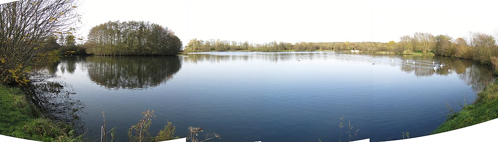
English: Panoramic of the pond of la Broce in Seine-et-Marne, France.
Français : Panoramique de l'étang de la Broce en Seine-et-Marne. |
| Date | |
| Source | Self-photographed |
| Author | Tangopaso |
| Camera location | | View this and other nearby images on: OpenStreetMap |
|---|
Licensing edit
| I, the copyright holder of this work, release this work into the public domain. This applies worldwide. In some countries this may not be legally possible; if so: I grant anyone the right to use this work for any purpose, without any conditions, unless such conditions are required by law. |
| Annotations | This image is annotated: View the annotations at Commons |
File history
Click on a date/time to view the file as it appeared at that time.
| Date/Time | Thumbnail | Dimensions | User | Comment | |
|---|---|---|---|---|---|
| current | 18:05, 23 January 2015 | 6,912 × 1,972 (2.07 MB) | Tangopaso (talk | contribs) | == {{int:filedesc}} == {{Information |Description= {{en|1=Panoramic of the pond of la Broce in Seine-et-Marne, France.}} {{fr|1=Panoramique de l'étang de la Broce en Seine-et-Marne.}} |source={{sf}} |date=2014-11-23 |author=[[User:Tangopaso|Tangopaso]... |
You cannot overwrite this file.
File usage on Commons
There are no pages that use this file.