File:Paper Mill tract - (on Rock Creek, N.W. Washington D.C.) LOC 88693010.tif

Size of this JPG preview of this TIF file: 588 × 599 pixels. Other resolutions: 235 × 240 pixels | 471 × 480 pixels | 753 × 768 pixels | 1,005 × 1,024 pixels | 2,009 × 2,048 pixels | 5,009 × 5,106 pixels.
Original file (5,009 × 5,106 pixels, file size: 73.17 MB, MIME type: image/tiff)
Captions
Captions
Add a one-line explanation of what this file represents
Summary edit
| Description |
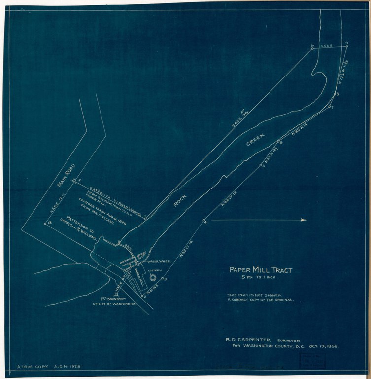
English: Partial cadastral map. Blueprint. Oriented with north to the right. "A correct copy of the original." LC copy fold-lined and annotated on verso in pencil: Gift, Artemas C. Harmon, Jan. 26, 1932. Available also through the Library of Congress Web site as a raster image. DCP |
||
| Title | Paper Mill tract : [on Rock Creek, N.W. Washington D.C.] | ||
| Shelf ID | G3852.P3G46 1868 .H3 | ||
| Date | |||
| Source | https://www.loc.gov/item/88693010/ | ||
| Author | Harmon, A. C. (Artemas Canfield); Carpenter, D. (Benjamin D.) | ||
| Permission (Reusing this file) |
|
||
| Other versions |
|
||
| Location | United States · Washington D.C. · Paper Mill · District Of Columbia · Washington | ||
| Part of | American Memory · Cities And Towns · Catalog · Geography And Map Division | ||
| Subject | Washington (D.C.) · Washington · United States · Maps · District Of Columbia · Paper Mill (Washington, D.C.) · Real Property · Paper Mill |

_LOC_88693010.jpg)
Licensing edit
|
This is a faithful photographic reproduction of a two-dimensional, public domain work of art. The work of art itself is in the public domain for the following reason:
The official position taken by the Wikimedia Foundation is that "faithful reproductions of two-dimensional public domain works of art are public domain".
This photographic reproduction is therefore also considered to be in the public domain in the United States. In other jurisdictions, re-use of this content may be restricted; see Reuse of PD-Art photographs for details. | ||||
File history
Click on a date/time to view the file as it appeared at that time.
| Date/Time | Thumbnail | Dimensions | User | Comment | |
|---|---|---|---|---|---|
| current | 07:32, 14 June 2018 |  | 5,009 × 5,106 (73.17 MB) | Fæ (talk | contribs) | LOC Maps https://www.loc.gov/item/88693010/ #15082 |
You cannot overwrite this file.
File usage on Commons
The following page uses this file: