File:Parallel50OestrichWinkelRheingau.JPG

Size of this preview: 800 × 600 pixels. Other resolutions: 320 × 240 pixels | 640 × 480 pixels | 1,024 × 768 pixels | 1,280 × 960 pixels | 1,600 × 1,200 pixels.
Original file (1,600 × 1,200 pixels, file size: 1,012 KB, MIME type: image/jpeg)
Captions
Captions
Add a one-line explanation of what this file represents
Summary edit
| Description |
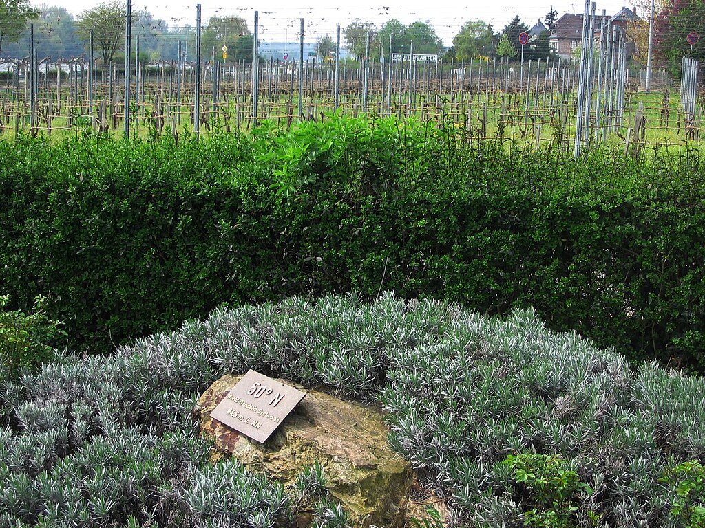
Deutsch: Lage des 50. Breitengrades nach World Geodetic System 1984 (WGS84) in Oestrich-Winkel im Rheingau am Parkplatz der Tourist Information, zwischen der Sankt-Aegidius-Basilika in Mittelheim und der Weinbergslage Jesuitengarten in Winkel (siehe Schriftzug im Bild). Nach dem für Topografische Karten in Deutschland angenommenen Potsdam-Datum liegt der 50. Breitengrad hier etwa 130 Meter weiter südlich. |
| Date | |
| Source | Own work |
| Author | Brühl |
| Camera location | | View this and other nearby images on: OpenStreetMap |
|---|
Licensing edit
| I, the copyright holder of this work, release this work into the public domain. This applies worldwide. In some countries this may not be legally possible; if so: I grant anyone the right to use this work for any purpose, without any conditions, unless such conditions are required by law. |
File history
Click on a date/time to view the file as it appeared at that time.
| Date/Time | Thumbnail | Dimensions | User | Comment | |
|---|---|---|---|---|---|
| current | 13:26, 12 April 2009 | | 1,600 × 1,200 (1,012 KB) | Brühl (talk | contribs) | {{Information |Description={{de|1=Lage des 50. Breitengrades nach World Geodetic System 1984 (WGS84) in Oestrich-Winkel im Rheingau am Parkplatz der Tourist Information, zwischen der Sankt-Aegidius-Basilika in Mittelheim und der Weinbergslage Jesuitengart |
You cannot overwrite this file.
File usage on Commons
The following page uses this file:
File usage on other wikis
The following other wikis use this file:
- Usage on als.wikipedia.org
- Usage on de.wikipedia.org