File:Paso Inferior bajo carretera a Sta. Clara de Avedillo. Zona de Las Tejeras, con Yacimientos Arqueológicos. - panoramio.jpg

Size of this preview: 800 × 600 pixels. Other resolutions: 320 × 240 pixels | 640 × 480 pixels | 1,024 × 768 pixels | 1,099 × 824 pixels.
Original file (1,099 × 824 pixels, file size: 119 KB, MIME type: image/jpeg)
Captions
Captions
Add a one-line explanation of what this file represents
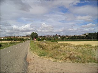
| Description | Paso Inferior bajo carretera a Sta. Clara de Avedillo. Zona de Las Tejeras, con Yacimientos Arqueológicos. | ||
| Date | 8 October 2010 (original upload date) | ||
| Source | https://web.archive.org/web/20161113081655/http://www.panoramio.com/photo/41869208 | ||
| Author | Allpe | ||
| Permission (Reusing this file) |
This file is licensed under the Creative Commons Attribution 3.0 Unported license. Attribution: Allpe
|
||
| Tags (from Panoramio photo page) | Tierra del Vino |
| Camera location | | View this and other nearby images on: OpenStreetMap |
|---|
File history
Click on a date/time to view the file as it appeared at that time.
| Date/Time | Thumbnail | Dimensions | User | Comment | |
|---|---|---|---|---|---|
| current | 07:51, 13 November 2016 | | 1,099 × 824 (119 KB) | Panoramio upload bot (talk | contribs) | {{Information |description=Paso Inferior bajo carretera a Sta. Clara de Avedillo. Zona de Las Tejeras, con Yacimientos Arqueológicos. |date={{Original upload date|2010-10-08}} |source=http://www.panoramio.com/photo/41869208 |author=[http://www.panoram... |
You cannot overwrite this file.
File usage on Commons
There are no pages that use this file.