File:Paterson st Mundijong gnangarra.JPG
Size of this preview: 800 × 532 pixels. Other resolutions: 320 × 213 pixels | 640 × 426 pixels | 1,024 × 681 pixels | 1,280 × 851 pixels | 3,008 × 2,000 pixels.
Original file (3,008 × 2,000 pixels, file size: 2.77 MB, MIME type: image/jpeg)
Captions
Captions
Add a one-line explanation of what this file represents
| Camera location | | View this and other nearby images on: OpenStreetMap |
|---|
| Description |
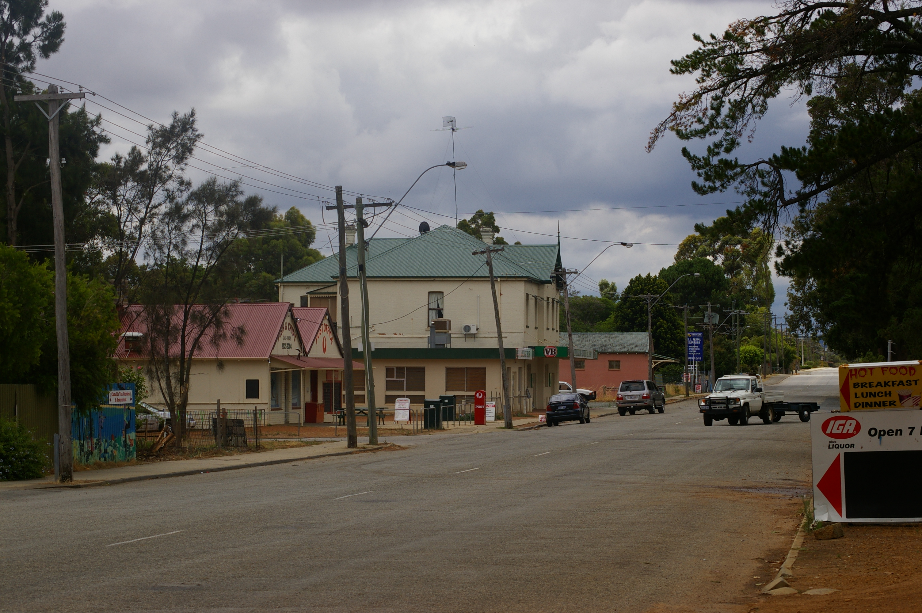
Paterson st Mundijong (main st) rail line is to the right of image looking - north east |
| Date | |
| Source | Digit Photograph -- Own Work |
| Author | Gnangarra |
| Permission (Reusing this file) |
Gnangarra custom license |
I Gnangarra hereby publish Paterson st Mundijong gnangarra.JPG under Creative Commons Attribution 3.0 Australia License
Attribution requirement;
Photographs by Gnangarra...commons.wikimedia.org
This file is licensed under the Creative Commons Attribution 3.0 Australia license.
Attribution: Photographs by Gnangarra...commons.wikimedia.org
- You are free:
- to share – to copy, distribute and transmit the work
- to remix – to adapt the work
- Under the following conditions:
- attribution – You must give appropriate credit, provide a link to the license, and indicate if changes were made. You may do so in any reasonable manner, but not in any way that suggests the licensor endorses you or your use.

File history
Click on a date/time to view the file as it appeared at that time.
| Date/Time | Thumbnail | Dimensions | User | Comment | |
|---|---|---|---|---|---|
| current | 12:14, 17 December 2007 | | 3,008 × 2,000 (2.77 MB) | Gnangarra (talk | contribs) | {{Information |Description=Paterson st Mundijong (main st) rail line is to the right of image looking - north east |Source=Digit Photograph -- Own Work |Date=17th December 2007 |Author=Gnangarra |Permission=Gnangarra custom license |other_versions= }} |
You cannot overwrite this file.
File usage on Commons
The following page uses this file:
File usage on other wikis
The following other wikis use this file:
- Usage on en.wikipedia.org
- Usage on it.wikipedia.org
- Usage on nl.wikipedia.org
- Usage on pl.wikipedia.org