File:Pearl Islands.PNG
No higher resolution available.
Pearl_Islands.PNG (671 × 460 pixels, file size: 11 KB, MIME type: image/png)
Captions
Captions
Add a one-line explanation of what this file represents
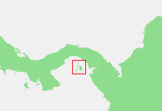
| Description | Pearl_Islands, Panama | ||||
| Source | |||||
| Author | |||||
| Permission (Reusing this file) |
|
File history
Click on a date/time to view the file as it appeared at that time.
| Date/Time | Thumbnail | Dimensions | User | Comment | |
|---|---|---|---|---|---|
| current | 20:31, 23 October 2006 | | 671 × 460 (11 KB) | Michiel1972 (talk | contribs) | {{Information |Description=Pearl_Islands, Panama |Source= |Date= |Author= |Permission={[PD-Demis}} |other_versions= }} category:locator maps of islands category:maps of Panama |
You cannot overwrite this file.
File usage on Commons
There are no pages that use this file.
File usage on other wikis
The following other wikis use this file:
- Usage on cs.wikipedia.org
- Usage on nl.wikipedia.org