File:Penang constituency map.png

Size of this preview: 504 × 599 pixels. Other resolutions: 202 × 240 pixels | 404 × 480 pixels | 646 × 768 pixels | 862 × 1,024 pixels | 1,723 × 2,048 pixels | 3,709 × 4,408 pixels.
Original file (3,709 × 4,408 pixels, file size: 339 KB, MIME type: image/png)
Captions
Captions
Add a one-line explanation of what this file represents
Summary edit
| Description |
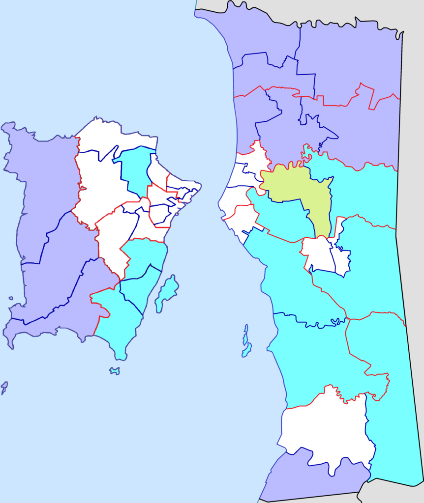
English: Map of the electoral constituencies in Penang. Boundaries between parliamentary seats are in red, while those between state seats are in blue. |
| Date | |
| Source | Own work |
| Author | Vnonymous |
Licensing edit
I, the copyright holder of this work, hereby publish it under the following license:
This file is licensed under the Creative Commons Attribution-Share Alike 4.0 International license.
- You are free:
- to share – to copy, distribute and transmit the work
- to remix – to adapt the work
- Under the following conditions:
- attribution – You must give appropriate credit, provide a link to the license, and indicate if changes were made. You may do so in any reasonable manner, but not in any way that suggests the licensor endorses you or your use.
- share alike – If you remix, transform, or build upon the material, you must distribute your contributions under the same or compatible license as the original.
File history
Click on a date/time to view the file as it appeared at that time.
| Date/Time | Thumbnail | Dimensions | User | Comment | |
|---|---|---|---|---|---|
| current | 10:30, 8 April 2018 | | 3,709 × 4,408 (339 KB) | Vnonymous (talk | contribs) | Changed DAP colors to white & reserving red for PPBM |
| 08:39, 12 September 2017 |  | 3,709 × 4,408 (338 KB) | Vnonymous (talk | contribs) | minor correction | |
| 08:35, 12 September 2017 |  | 3,709 × 4,408 (338 KB) | Vnonymous (talk | contribs) | User created page with UploadWizard |
You cannot overwrite this file.
File usage on Commons
There are no pages that use this file.