File:Petrohue - panoramio.jpg
Size of this preview: 799 × 367 pixels. Other resolutions: 320 × 147 pixels | 640 × 294 pixels | 1,024 × 470 pixels | 1,280 × 588 pixels | 2,560 × 1,176 pixels | 4,574 × 2,101 pixels.
Original file (4,574 × 2,101 pixels, file size: 5.9 MB, MIME type: image/jpeg)
Captions
Captions
Add a one-line explanation of what this file represents
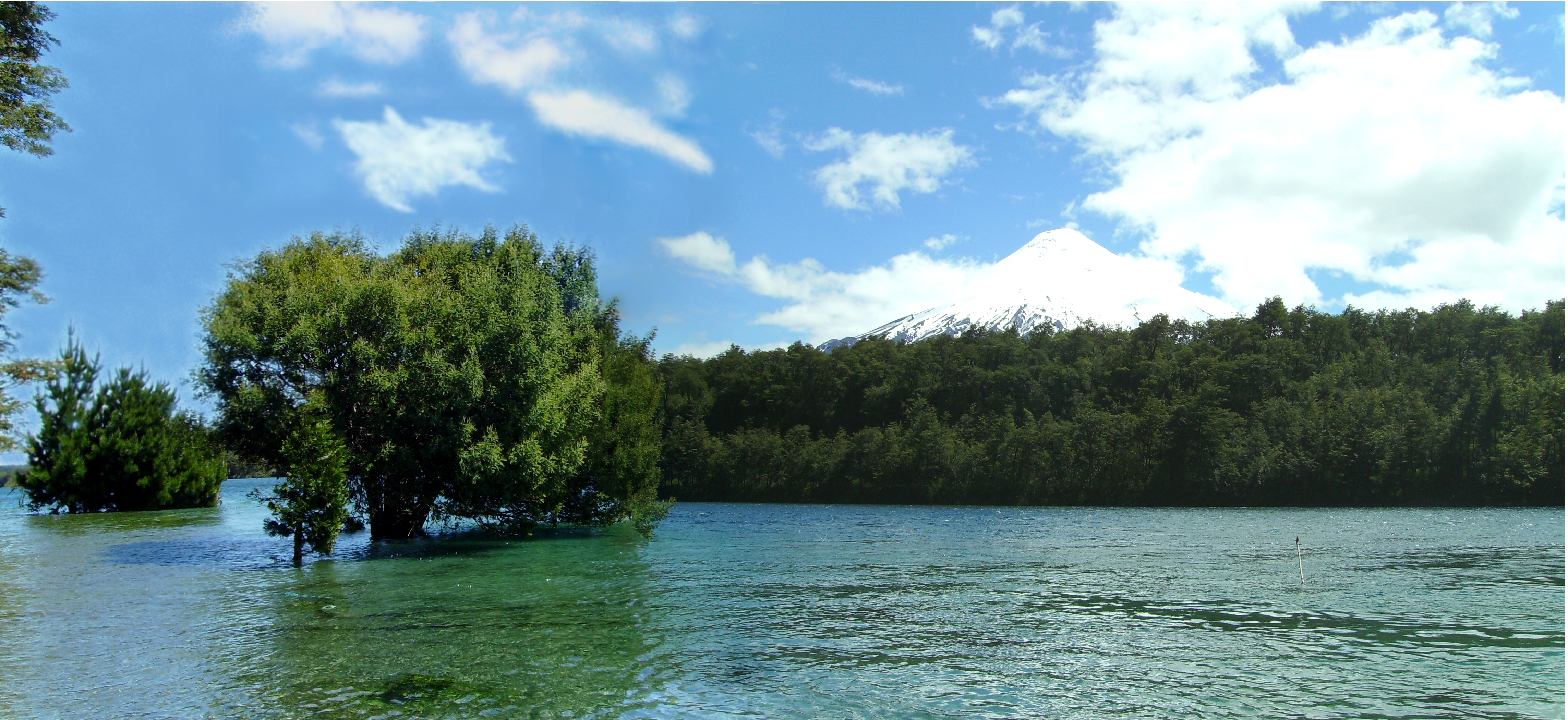
| Description | Petrohué river near Petrohué town | ||
| Date | Taken on 13 November 2006 | ||
| Source | https://web.archive.org/web/20161112024045/http://www.panoramio.com/photo/41531115 | ||
| Author | littletroll | ||
| Permission (Reusing this file) |
This file is licensed under the Creative Commons Attribution-Share Alike 3.0 Unported license. Attribution: littletroll
|
||
| Tags (from Panoramio photo page) | Puerto Varas, Chile, Chili, Patagonia, Rio, River, река, 江, 湖 |
| Camera location | | View this and other nearby images on: OpenStreetMap |
|---|
File history
Click on a date/time to view the file as it appeared at that time.
| Date/Time | Thumbnail | Dimensions | User | Comment | |
|---|---|---|---|---|---|
| current | 02:09, 12 November 2016 | | 4,574 × 2,101 (5.9 MB) | Panoramio upload bot (talk | contribs) | {{Information |description=Petrohue |date={{Taken on|2006-11-13}} |source=http://www.panoramio.com/photo/41531115 |author=[http://www.panoramio.com/user/4432108?with_photo_id=41531115 littletroll] |permission={{cc-by-sa-3.0|littletroll}} {{Panoramiorev... |
You cannot overwrite this file.
File usage on Commons
There are no pages that use this file.