File:Pflugstein Herrliberg.JPG

Size of this preview: 800 × 600 pixels. Other resolutions: 320 × 240 pixels | 640 × 480 pixels | 1,024 × 768 pixels | 1,280 × 960 pixels | 2,560 × 1,920 pixels | 4,032 × 3,024 pixels.
Original file (4,032 × 3,024 pixels, file size: 4.4 MB, MIME type: image/jpeg)
Captions
Captions
Add a one-line explanation of what this file represents
Summary edit
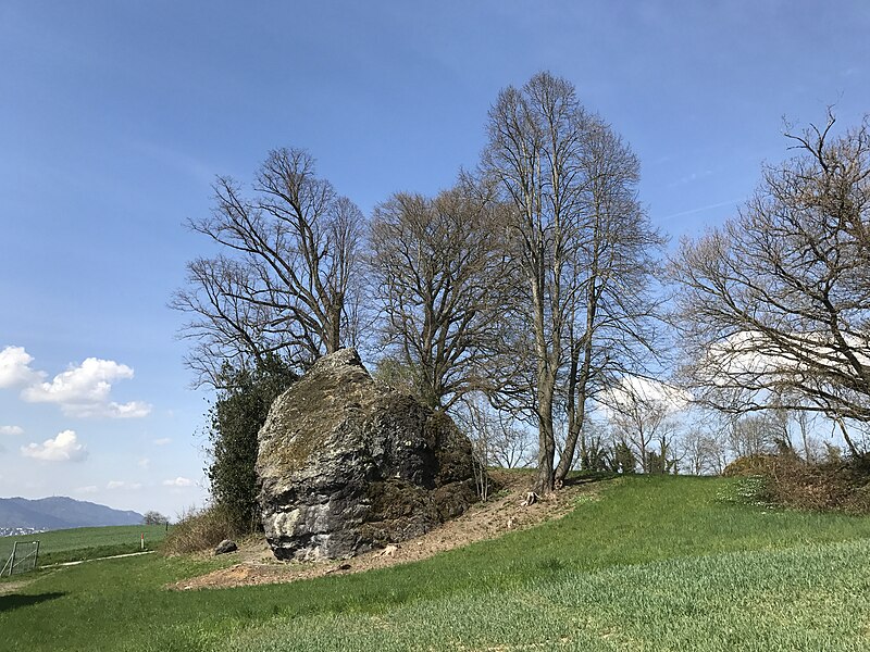
| Description | Pflugstein Herrliberg |
| Date | |
| Source | Own work |
| Author | Adrian Michael |
Licensing edit
| I, the copyright holder of this work, release this work into the public domain. This applies worldwide. In some countries this may not be legally possible; if so: I grant anyone the right to use this work for any purpose, without any conditions, unless such conditions are required by law. |
File history
Click on a date/time to view the file as it appeared at that time.
| Date/Time | Thumbnail | Dimensions | User | Comment | |
|---|---|---|---|---|---|
| current | 16:22, 14 April 2017 | | 4,032 × 3,024 (4.4 MB) | Parpan05 (talk | contribs) | == {{int:filedesc}} == {{Information |Description=Pflugstein Herrliberg |Source={{own}} |Date=March 2017 |Author=Adrian Michael |Permission= }} == {{int:license-header}} == {{PD-self}} Category:Herrliberg [[Category:Glacial er... |
You cannot overwrite this file.
File usage on Commons
The following 2 pages use this file:
File usage on other wikis
The following other wikis use this file:
- Usage on de.wikipedia.org
- Herrliberg
- Bundesinventar der Landschaften und Naturdenkmäler von nationaler Bedeutung
- Benutzer:Albinfo/Naturschutzgebiete Kanton Zürich
- Benutzer:Matutinho/Arbeitsindex/Übersichtsliste über die Biotope von nationaler Bedeutung (Wikidata)
- Benutzer:Albinfo/Naturschutzgebiete Kanton Zürich-Bezirk Meilen