File:PikiWiki Israel 26443 Geography of Israel.jpg

Size of this preview: 800 × 532 pixels. Other resolutions: 320 × 213 pixels | 640 × 426 pixels | 1,024 × 681 pixels | 1,280 × 851 pixels | 1,600 × 1,064 pixels.
Original file (1,600 × 1,064 pixels, file size: 260 KB, MIME type: image/jpeg)
Captions
Captions
Add a one-line explanation of what this file represents
| Description |
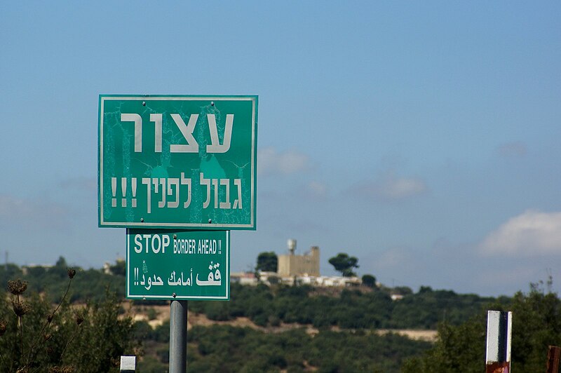
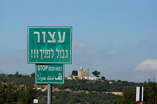
English: Geography of Israel עברית: שלט הזהרה בכניסה למסלול טיול, Original Image Name:גבול לבנון, Location:כביש הצפון |
| Date | |
| Source | Oren Peles via the PikiWiki - Israel free image collection project |
| Author | Oren Peles |
| Permission (Reusing this file) |
This file is licensed under the Creative Commons Attribution 2.5 Generic license. Attribution: Oren Peles Pikiwiki Israel
|

|
This file has been submitted through the Israeli Pikiwiki project and uploaded here automatically.
The project is cooperation between the Israel Internet Association and Wikimedia Israel in an effort to promote the concept of free content on the Web, by creating an image collection of digital-format, good quality photographs, documenting events relating to the history of Israel, or depicting places of distinction in Israel and the Middle East. The Pikiwiki Project is managed from 2021 by the "Heritage Stones" group.
Please consider notifying the project before renaming or deleting this file. Further information about the project can be found on the commons-l mailing list.
|
File history
Click on a date/time to view the file as it appeared at that time.
| Date/Time | Thumbnail | Dimensions | User | Comment | |
|---|---|---|---|---|---|
| current | 13:00, 15 October 2012 | | 1,600 × 1,064 (260 KB) | Pikiwikisrael (talk | contribs) | {{Information |Description={{en|Geography of Israel}} {{he|שלט הזהרה בכניסה למסלול טיול, Original Image Name:גבול לבנון, Location:כביש הצפון}} |Source=Oren Peles via the [http://www.pikiwiki.org.il?action=gall... |
You cannot overwrite this file.
File usage on Commons
There are no pages that use this file.
File usage on other wikis
The following other wikis use this file:
- Usage on he.wikiquote.org