File:Pine Ridge Golf Club - geograph.org.uk - 59444.jpg
No higher resolution available.
Pine_Ridge_Golf_Club_-_geograph.org.uk_-_59444.jpg (640 × 427 pixels, file size: 106 KB, MIME type: image/jpeg)
Captions
Captions
Add a one-line explanation of what this file represents
Summary edit
| Description |
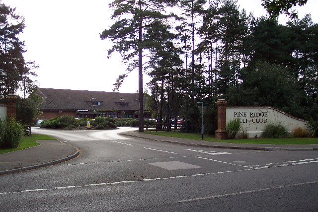
English: Pine Ridge Golf Club. Pine Ridge Golf Club occupies part of the land of the Frimley Fuel Allotments, a charity, and provides much of its income. The aims of the charity are to "relieve either generally or individually persons resident in the area of the parish of Frimley as constituted on 20th March 1903 who are in conditions of need, hardship and distress by making grants of money or providing or paying for items, services or facilities calculated to reduce the need, hardship and distress of such persons." The name derives from the time when locals were allowed to collect fallen wood for fuel. Each family entitled to collect fuel were "allotted" a particular area. |
| Date | |
| Source | From geograph.org.uk |
| Author | Ron Strutt |
| Attribution (required by the license) | Ron Strutt / Pine Ridge Golf Club / |
| Object location | | View this and other nearby images on: OpenStreetMap |
|---|
_&language=en)
Licensing edit

|
This image was taken from the Geograph project collection. See this photograph's page on the Geograph website for the photographer's contact details. The copyright on this image is owned by Ron Strutt and is licensed for reuse under the Creative Commons Attribution-ShareAlike 2.0 license.
|
This file is licensed under the Creative Commons Attribution-Share Alike 2.0 Generic license.
Attribution: Ron Strutt
- You are free:
- to share – to copy, distribute and transmit the work
- to remix – to adapt the work
- Under the following conditions:
- attribution – You must give appropriate credit, provide a link to the license, and indicate if changes were made. You may do so in any reasonable manner, but not in any way that suggests the licensor endorses you or your use.
- share alike – If you remix, transform, or build upon the material, you must distribute your contributions under the same or compatible license as the original.
File history
Click on a date/time to view the file as it appeared at that time.
| Date/Time | Thumbnail | Dimensions | User | Comment | |
|---|---|---|---|---|---|
| current | 18:08, 30 January 2010 | | 640 × 427 (106 KB) | GeographBot (talk | contribs) | == {{int:filedesc}} == {{Information |description={{en|1=Pine Ridge Golf Club. Pine Ridge Golf Club occupies part of the land of the Frimley Fuel Allotments, a charity, and provides much of its income. The aims of the charity are to "relieve either genera |
You cannot overwrite this file.
File usage on Commons
There are no pages that use this file.