File:Pista de La Resistencia.svg

Size of this PNG preview of this SVG file: 800 × 301 pixels. Other resolutions: 320 × 120 pixels | 640 × 240 pixels | 1,024 × 385 pixels | 1,280 × 481 pixels | 2,560 × 962 pixels | 1,368 × 514 pixels.
Original file (SVG file, nominally 1,368 × 514 pixels, file size: 1.88 MB)
Captions
Captions
Add a one-line explanation of what this file represents
Summary edit
| Description |
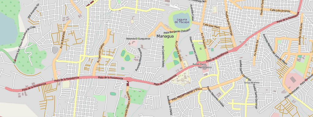
This map of Pista de la Resistencia, Managua, Nicaragua was created from OpenStreetMap project data, collected by the community. This map may be incomplete, and may contain errors. Don't rely solely on it for navigation. |
| Date | (see file history) |
| Source | openstreetmap.org |
| Creator |
OpenStreetMap contributors |
| Permission (Reusing this file) |
OpenStreetMap data and maps are licensed under the Creative Commons Attribution-ShareAlike 2.0 license (CC-BY-SA 2.0). This file is licensed under the Creative Commons Attribution-Share Alike 2.0 Generic license.
|
| Georeferencing | If inappropriate please set warp_status = skip to hide. |
File history
Click on a date/time to view the file as it appeared at that time.
| Date/Time | Thumbnail | Dimensions | User | Comment | |
|---|---|---|---|---|---|
| current | 07:05, 12 December 2009 | 1,368 × 514 (1.88 MB) | Vrysxy (talk | contribs) | {{Information |Description={{en|1={{OpenStreetMap|location=Paseo Naciones Unidas, Managua, Nicaragua|source=OpenStreetMap export tool}} Category:Streets in Managua Managua }} |Source=http://www.openstreetm |
You cannot overwrite this file.
File usage on Commons
There are no pages that use this file.