File:Pivot irrigation 44.3936N 0.9839W Geocover France.jpg
Size of this preview: 744 × 599 pixels. Other resolutions: 298 × 240 pixels | 596 × 480 pixels | 953 × 768 pixels | 1,271 × 1,024 pixels | 1,621 × 1,306 pixels.
Original file (1,621 × 1,306 pixels, file size: 628 KB, MIME type: image/jpeg)
Captions
Captions
Add a one-line explanation of what this file represents
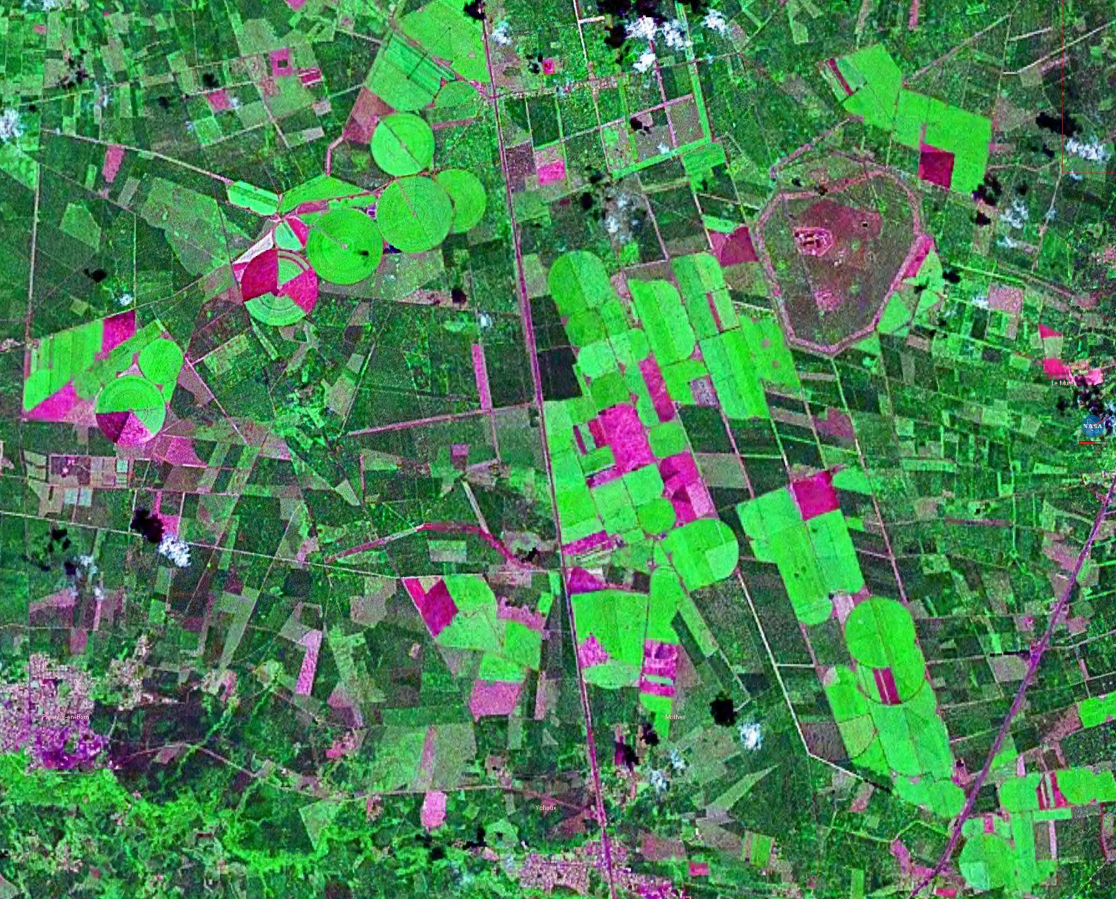
Pivot irrigation in southwestern France
WorldWind 44.3936N 0.9839W Geocover false colours
| This image is in the public domain because it is a screenshot from NASA’s globe software World Wind using a public domain layer, such as Blue Marble, MODIS, Landsat, SRTM, USGS or GLOBE.
|
 |
File history
Click on a date/time to view the file as it appeared at that time.
| Date/Time | Thumbnail | Dimensions | User | Comment | |
|---|---|---|---|---|---|
| current | 08:41, 30 October 2005 | | 1,621 × 1,306 (628 KB) | David.Monniaux (talk | contribs) | Pivot irrigation in southwestern France WorldWind 44.3936N 0.9839W Geocover false colours {{PD-WorldWind}} |
You cannot overwrite this file.
File usage on Commons
The following 3 pages use this file: